Plompton, village in United Kingdom
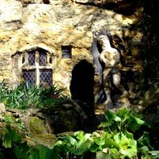
Chapel of Our Lady of the Crag
1.5 km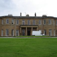
Rudding Park
2.5 km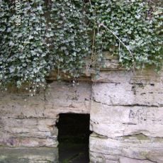
Saint Roberts Cave, Also Called Saint Roberts Chapel, Approximately 120 Metres South West Of Grimbald Bridge
1.5 km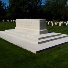
Harrogate Cemetery
1.8 km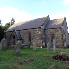
Church of Saint Joseph and Saint James
2.4 km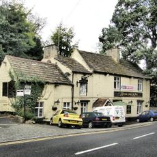
Mother Shipton Inn
1.5 km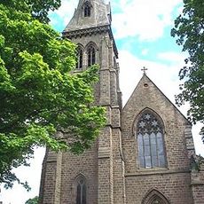
Church of the Holy Trinity
1.8 km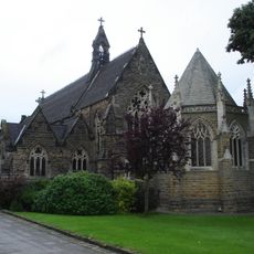
Roman Catholic Chapel Approximately 20 Metres North Of Rudding Park House
2.4 km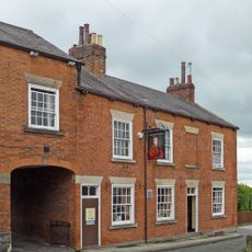
The Wellington Inn
1.8 km
George And Dragon Public House
1.8 km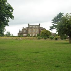
Bilton Court
1.8 km
Grimbald Bridge Over River Nidd
1.7 km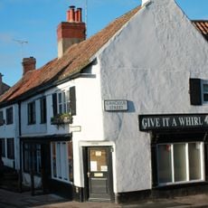
2, 2A And, Cheapside
1.9 km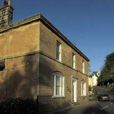
March House
1.5 km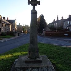
Saxon Cross
2.6 km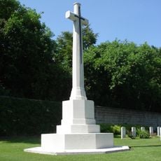
Stonefall Cemetery Cross of Sacrifice, Harrogate
1.6 km
Swadford House
1.9 km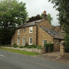
Hunters Lodge
2.5 km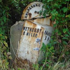
Mile Post Near Entrance To Tickhill Farm
2.4 km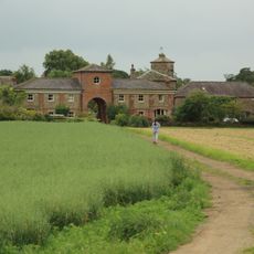
Barn And Outbuildings To North East Of Plompton Hall Farmhouse
1.1 km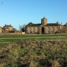
Plompton Hall And Flanking Walls
1.2 km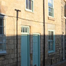
14, Cheapside
1.9 km
The Abbey
943 m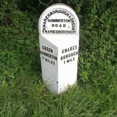
Milestone, York Road, almost opp. Manse Lane,
2.2 km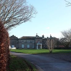
Plompton High Grange
1.7 km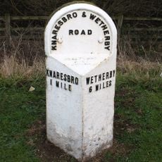
Milestone, Wetherby Road, just N of TI on A658
1.9 km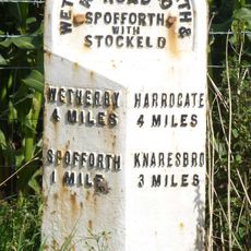
Milestone, Harrogate Road, opp. Crosper Farm
3.1 km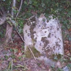
Milestone, on cut off road 300m S of A658
385 mVisited this place? Tap the stars to rate it and share your experience / photos with the community! Try now! You can cancel it anytime.
Discover hidden gems everywhere you go!
From secret cafés to breathtaking viewpoints, skip the crowded tourist spots and find places that match your style. Our app makes it easy with voice search, smart filtering, route optimization, and insider tips from travelers worldwide. Download now for the complete mobile experience.

A unique approach to discovering new places❞
— Le Figaro
All the places worth exploring❞
— France Info
A tailor-made excursion in just a few clicks❞
— 20 Minutes