
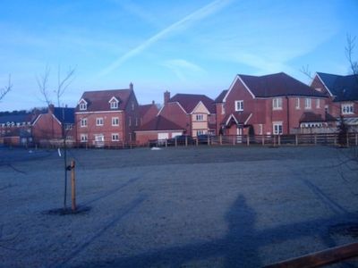
Lindford, village in United Kingdom
Location: East Hampshire
Website: https://lindfordpc.org.uk
GPS coordinates: 51.11803,-0.84489
Latest update: March 9, 2025 23:27
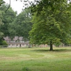
Headley Grange
1.7 km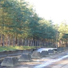
Hogmoor Inclosure
2.3 km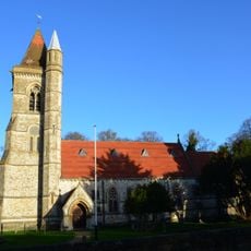
St Matthew's Church
3.8 km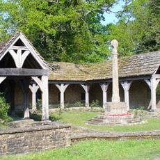
Blackmoor War Memorial
3.8 km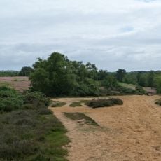
Kingsley Common
2.7 km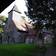
Church of St Nicholas
3.6 km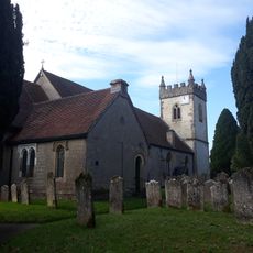
Church of All Saints
1.2 km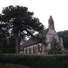
Church of All Saints
3 km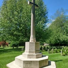
War Memorial 120 Metres South West of Church
4.6 km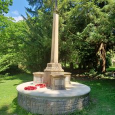
Bramshott War Memorial
4.5 km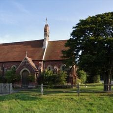
Congregational Chapel
3.9 km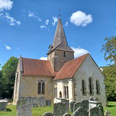
Church of St Mary
4.6 km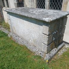
Table Tomb 1 Metre South Of Chancel
4.6 km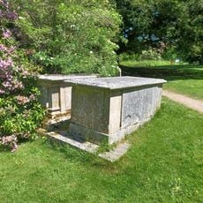
Table Tomb 11 Metres North Of Nave
4.5 km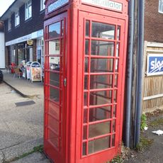
K6 Telephone Kiosk To North Of The Holly Bush Public House
1.3 km
Churt War Memorial
5 km
3 Candovers Long Candovers
5.4 km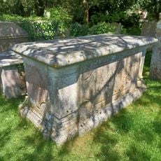
Table Tomb 4 Metres East Of Chancel
4.6 km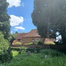
Bramshott Manor
4.6 km
Headley War Memorial
1.3 km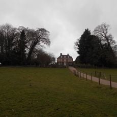
Bramshott Vale
4.2 km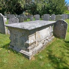
Table Tomb 7 Metres South Of Chancel
4.6 km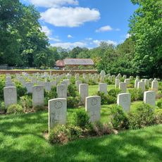
Bramshott Churchyard
4.6 km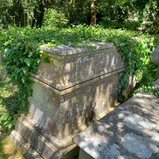
Table Tomb 4 Metres East Of Chancel
4.6 km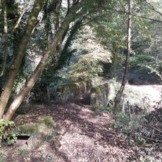
River Wey aqueduct, Headley Park
1.2 km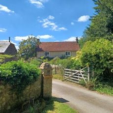
Covers Farmhouse
4.4 km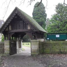
Churchyard Boundary Wall With Lychgate And Service Building
3.9 km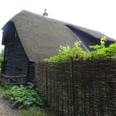
Barn At Long Candovers
5.4 kmReviews
Visited this place? Tap the stars to rate it and share your experience / photos with the community! Try now! You can cancel it anytime.
Discover hidden gems everywhere you go!
From secret cafés to breathtaking viewpoints, skip the crowded tourist spots and find places that match your style. Our app makes it easy with voice search, smart filtering, route optimization, and insider tips from travelers worldwide. Download now for the complete mobile experience.

A unique approach to discovering new places❞
— Le Figaro
All the places worth exploring❞
— France Info
A tailor-made excursion in just a few clicks❞
— 20 Minutes