Stambridge, civil parish in Rochford, Essex, England
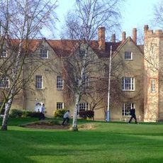
Rochford Hall
3.5 km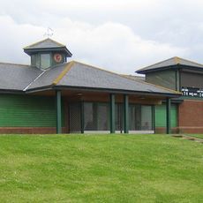
Garon Park
3.9 km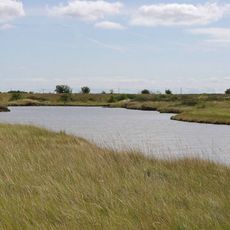
Lion Creek and Lower Raypits
3.7 km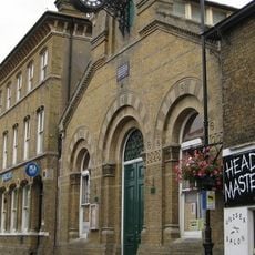
Corn Exchange, Rochford
3 km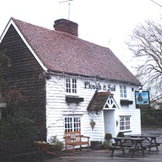
The Plough And Sail Inn
4 km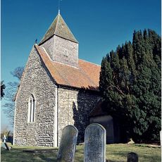
Church of All Saints
2.8 km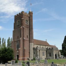
Church of St Andrew
3.4 km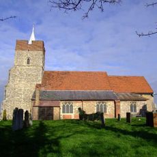
Church of St Mary and All Saints
1.2 km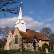
Church of St Mary the Virgin
4.4 km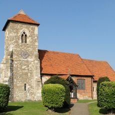
Church of St Andrew
4.3 km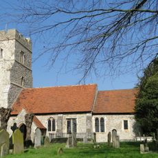
Church of St Peter
2.7 km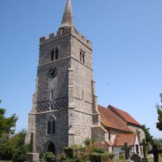
Church of All Saints
3.4 km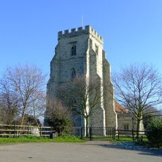
Church of St Nicholas
3.1 km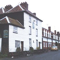
The Punch Bowl Inn
2.6 km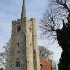
Church of St Mary the Virgin
4.4 km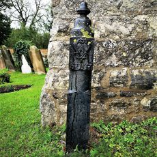
Boundary Marker Post Adjacent To North Side Of West Door, West Tower, Church Of St Mary The Virgin
4.4 km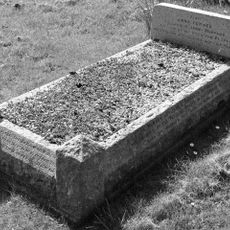
Headstone And Surrounds Approximately 16 Metres South Of South West Angle Of South Porch Of Church Of St Andrew
3.5 km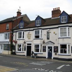
The Kings Head Hotel
3 km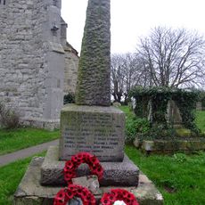
Barling Magna War Memorial
3.3 km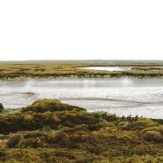
Brimstone Hill
4.5 km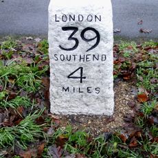
Milestone On Northern Verge Opposite House Called Birches
3.8 km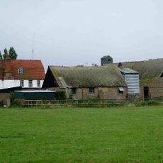
Lambourne Hall
2.9 km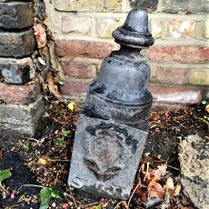
Boundary Marker Post On Roadside Pavement Adjacent To South West Corner Of Churchyard, Church Of St Mary The Virgin
4.4 km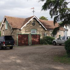
Stables, Tack Room And Carriagehouse Approximately 3 Metres North East Of Doggetts Farmhouse
2.4 km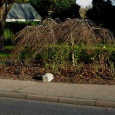
Milestone On Eastern Verge
3.1 km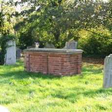
Tomb of John Harriot and his family
1.3 km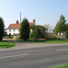
Beauchamps
3.2 km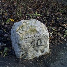
Milestone, Southend Road,
3.1 kmVisited this place? Tap the stars to rate it and share your experience / photos with the community! Try now! You can cancel it anytime.
Discover hidden gems everywhere you go!
From secret cafés to breathtaking viewpoints, skip the crowded tourist spots and find places that match your style. Our app makes it easy with voice search, smart filtering, route optimization, and insider tips from travelers worldwide. Download now for the complete mobile experience.

A unique approach to discovering new places❞
— Le Figaro
All the places worth exploring❞
— France Info
A tailor-made excursion in just a few clicks❞
— 20 Minutes