
West End, village and civil parish in Surrey Heath, Surrey, England
Location: Surrey Heath
Shares border with: Lightwater
GPS coordinates: 51.34407,-0.66470
Latest update: March 3, 2025 09:44

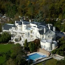
Updown Court
3.1 km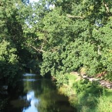
Basingstoke Canal
4.6 km
Jolly Farmer
3.4 km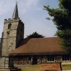
Church of St Lawrence, Chobham
4.3 km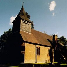
Church of St Saviour
3.3 km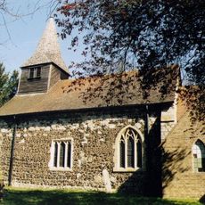
Church of St John the Baptist
3.2 km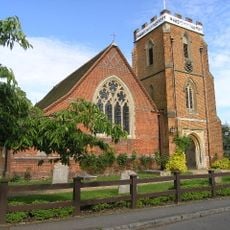
Church of St John the Baptist
2.3 km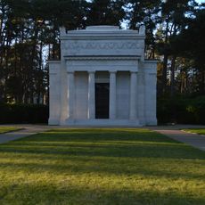
American Memorial Chapel
5 km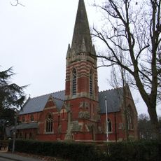
Church of St Anne
3 km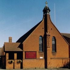
Saint Saviour's Church
4.8 km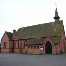
All Saints
862 m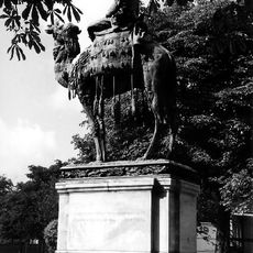
Statue of General Gordon, Gordon's School
1.4 km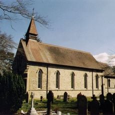
Holy Trinity
1.6 km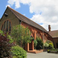
Holy Trinity
4.2 km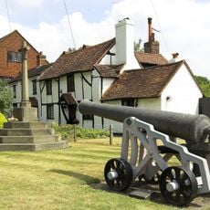
Chobham War Memorial
4.3 km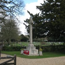
Windlesham War Memorial
2.4 km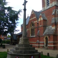
Bagshot War Memorial, Surrey
3 km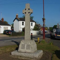
Lightwater War Memorial
846 m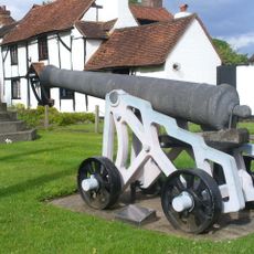
Chobham Crimean War Memorial Cannon
4.3 km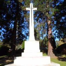
Brookwood Military Cemetery WWI Cross of Sacrifice
4.9 km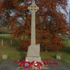
Bisley War Memorial
2.6 km
Fulton's Gun Shop
3.7 km
The Macdonald Stewart Pavilion
3.9 km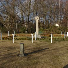
West End War Memorial
1.5 km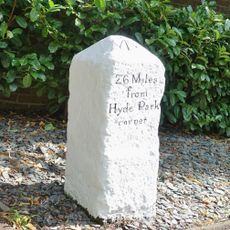
Milestone, Bagshot Park, by No. 24 London Road, Wayside
3 km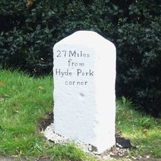
Milestone, Bagshot Heath, No. 210 London Road
2.9 km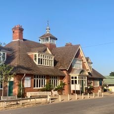
The Museum of The National Rifle Association
3.7 km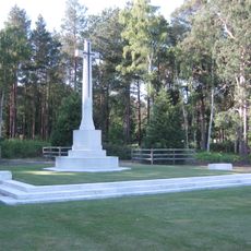
Brookwood Military Cemetery WWII Cross of Sacrifice
5 kmReviews
Visited this place? Tap the stars to rate it and share your experience / photos with the community! Try now! You can cancel it anytime.
Discover hidden gems everywhere you go!
From secret cafés to breathtaking viewpoints, skip the crowded tourist spots and find places that match your style. Our app makes it easy with voice search, smart filtering, route optimization, and insider tips from travelers worldwide. Download now for the complete mobile experience.

A unique approach to discovering new places❞
— Le Figaro
All the places worth exploring❞
— France Info
A tailor-made excursion in just a few clicks❞
— 20 Minutes