Surrey Heath, Administrative borough in Surrey, England
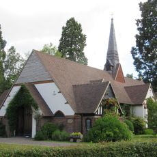
Surrey Heath is an administrative district in the county of Surrey, covering northern and western areas that blend built-up towns with open heathland and natural vegetation. The territory includes several towns and villages interspersed with green spaces and protected natural areas.
The area took its current form in 1974 when local government reorganization brought together formerly separate districts under one administration. This reshaping created the modern boundaries and governance structure that remain in place today.
The district maintains connections with towns in France and Germany through formal partnerships that bring cultural exchanges and joint initiatives to the community. These relationships shape how locals engage with neighbors across borders.
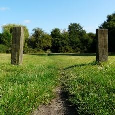
The area is best explored by car or public transport, which connect the various villages and town centers throughout the district. Open spaces and natural areas are accessible through public paths and designated routes for visitors.
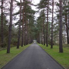
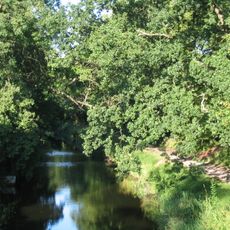
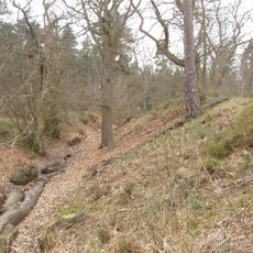
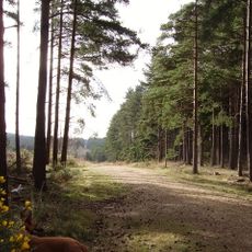
The territory contains several designated areas of scientific importance where heathland vegetation thrives on sandy soils, creating specialized habitats for distinctive plants and wildlife. These natural spaces reflect the original landscape that once covered much of the region.
The community of curious travelers
AroundUs brings together thousands of curated places, local tips, and hidden gems, enriched daily by 60,000 contributors worldwide.