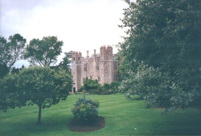
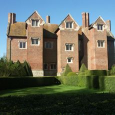
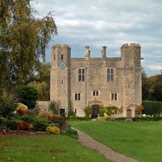
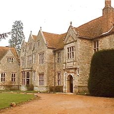
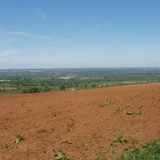
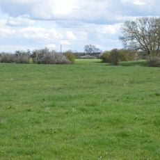
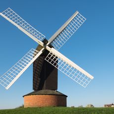
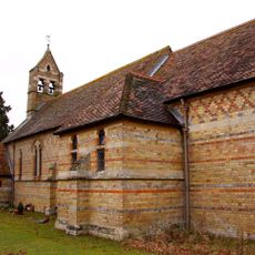
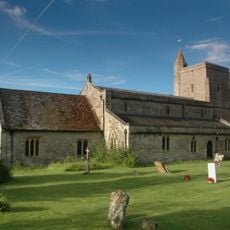
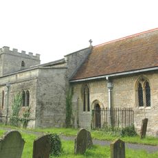
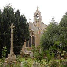
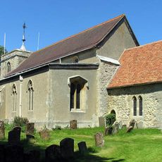
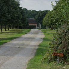
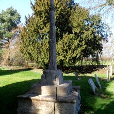
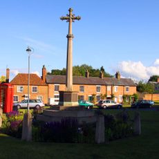
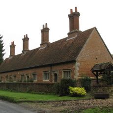
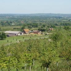
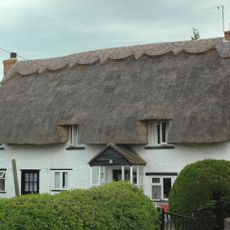
Boarstall, village and civil parish in Buckinghamshire, United Kingdom
Location: Buckinghamshire
Website: http://boarstall.com
GPS coordinates: 51.82300,-1.09200
Latest update: March 4, 2025 07:23
Beckley Park
5.4 km
Boarstall Tower
258 m
Studley Priory, Oxfordshire
3.5 km
Boarstall Duck Decoy
957 m
Rushbeds Wood
4.2 km
Stoke Common
1.8 km
Shabbington Woods Complex
3.3 km
Muswell Hill, Buckinghamshire
1.8 km
Arncott Bridge Meadows
4.7 km
Brill Windmill
2.5 km
Church of St Barnabas
3.8 km
Church of St Mary
2.5 km
Church of St Nicholas
3.1 km
Church of St James
201 m
Church of All Saints
3 km
Methodist Chapel
3.6 km
The Nut Tree Public House
4.2 km
Murcott Mission Room
4.4 km
The Chandos Arms
2.3 km
Old Arngrove Farm
1.7 km
Boarstall War Memorial
170 m
War Memorial
2.8 km
Studley Almshouses
3.4 km
Corble Farmhouse
2.1 km
Miropa
3.6 km
Milepost, Thame Road; opp. Oakley Church
2.4 km
Milepost, Foresters; Boarstall Wood
962 m
Milepost, just N of Little Green, Leatherslade Farm (500m)
3.8 kmReviews
Visited this place? Tap the stars to rate it and share your experience / photos with the community! Try now! You can cancel it anytime.
Discover hidden gems everywhere you go!
From secret cafés to breathtaking viewpoints, skip the crowded tourist spots and find places that match your style. Our app makes it easy with voice search, smart filtering, route optimization, and insider tips from travelers worldwide. Download now for the complete mobile experience.
A unique approach to discovering new places❞
— Le Figaro
All the places worth exploring❞
— France Info
A tailor-made excursion in just a few clicks❞
— 20 Minutes