
Bransdale, civil parish in Ryedale, North Yorkshire, England
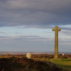
Young Ralph Cross
8.1 km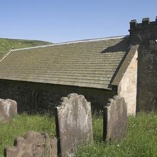
Church of St Nicholas
2.8 km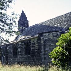
Church of St Mary Magdelene
5.6 km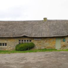
Spout House
5.7 km
Wayside cross known as Jenny Bradley 1000m north west of Bloworth Crossing on Greenhow Moor
6.8 km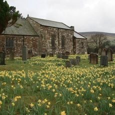
St Mary's Church, Church Houses, Farndale
4.9 km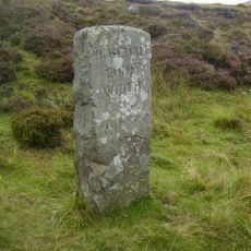
Guidestone
6.7 km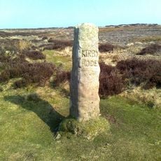
Guidestone
2.2 km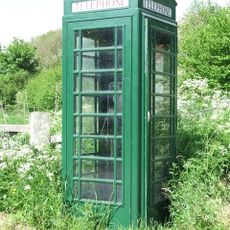
Green K6 Telephone Kiosk At Fangdale Beck Junction
5.5 km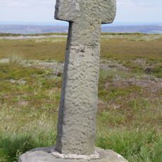
Old Ralph Cross
7.9 km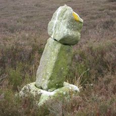
Roppa South Cross on Carr Cote Ridge 1100m WSW of Piethorn
5 km
Guidestone
1.5 km
Golden Heights round cairn and wayside cross on Rudland Rigg
2.1 km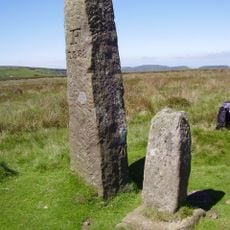
Jenny Bradley Stone
6.8 km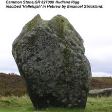
Cammon Stone
4.3 km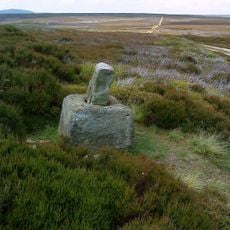
Wayside cross known as Stump Cross on Bransdale Ridge
3.2 km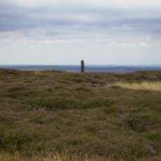
Flat Howe round barrow and wayside cross base
7.2 km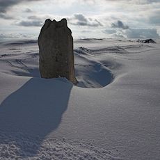
Margery Bradley
7.4 km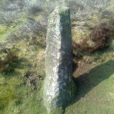
Bloworth Guidestone
5.8 km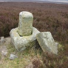
Wayside cross 950m east of Spout House Plantation
4.8 km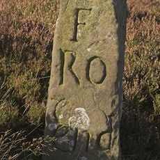
Guidestone
7.3 km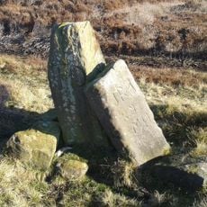
Catter Stone
6.7 km
Boundary Stone
7.3 km
Cockan Cross wayside cross 600m west of Fox Hole Crag
3.4 km
Burton Howe round barrow
7.8 km
Guidestone, The Hand Stone, Round Hill, Urra Moor
6.7 km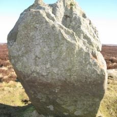
Guidestone, Cammon Stone, Rudland Rigg
4.3 km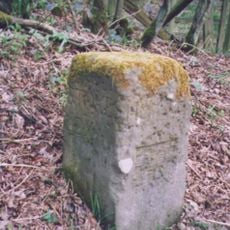
Guidestone, Bilsdale, near Low Mill
5.4 kmReviews
Visited this place? Tap the stars to rate it and share your experience / photos with the community! Try now! You can cancel it anytime.
Discover hidden gems everywhere you go!
From secret cafés to breathtaking viewpoints, skip the crowded tourist spots and find places that match your style. Our app makes it easy with voice search, smart filtering, route optimization, and insider tips from travelers worldwide. Download now for the complete mobile experience.

A unique approach to discovering new places❞
— Le Figaro
All the places worth exploring❞
— France Info
A tailor-made excursion in just a few clicks❞
— 20 Minutes