
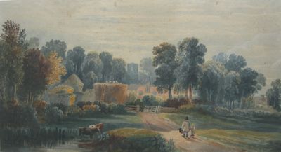
Crowhurst, village and civil parish in East Sussex, England
Location: Rother
Website: http://home.btconnect.com/oldfields/crowhurst
GPS coordinates: 50.89000,0.50000
Latest update: March 6, 2025 04:02
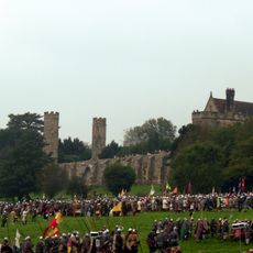
Battle of Hastings reenactment
2.7 km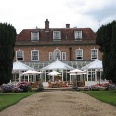
Beauport Park
3 km
Church in the Wood
3.2 km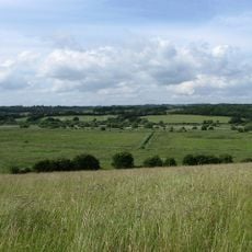
Combe Haven
3.1 km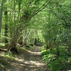
Marline Valley Woods
2.4 km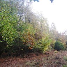
Fore Wood
540 m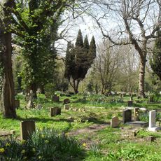
Church Wood and Robsack Wood
3.1 km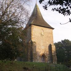
The Parish Church of St Laurence, Catsfield
3.1 km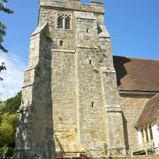
The Parish Church of St George
724 m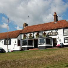
The New Inn
4.2 km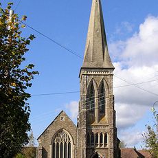
Catsfield Methodist Church
3.5 km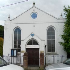
Wesleyan Chapel
2.4 km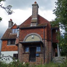
Pebsham Farmhouse
4.1 km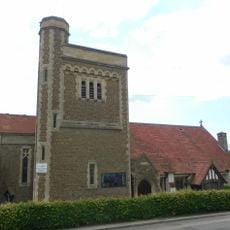
Church of All Saints
4.4 km
Buckholt Farmhouse, Including The Wall On Either Side Of The House To The East And West
2.3 km
Adam's Farmhouse
2.3 km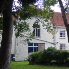
Preston Hall
3.7 km
Nazareth House
4.5 km
Green Street Farmhouse
1.5 km
Henley Down Farmhouse
2.6 km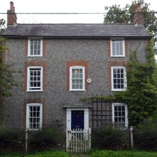
The High House
4.4 km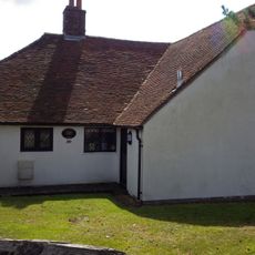
30, Pembury Grove
4.6 km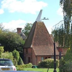
Chequers
3.3 km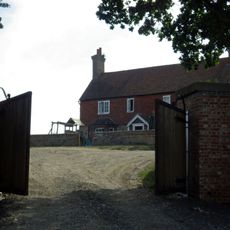
Upper Wilting Farmhouse
2.5 km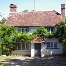
The House By The Stream
2.9 km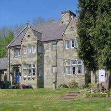
Beauport Home Farm With Attached Outbuildings
3.1 km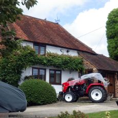
Cockerels Farmhouse
3.5 km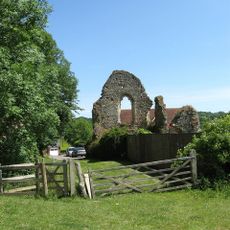
Manor house (remains of)
765 mVisited this place? Tap the stars to rate it and share your experience / photos with the community! Try now! You can cancel it anytime.
Discover hidden gems everywhere you go!
From secret cafés to breathtaking viewpoints, skip the crowded tourist spots and find places that match your style. Our app makes it easy with voice search, smart filtering, route optimization, and insider tips from travelers worldwide. Download now for the complete mobile experience.

A unique approach to discovering new places❞
— Le Figaro
All the places worth exploring❞
— France Info
A tailor-made excursion in just a few clicks❞
— 20 Minutes