
Doynton, village in the United Kingdom
Location: South Gloucestershire
GPS coordinates: 51.46670,-2.40000
Latest update: March 3, 2025 16:33
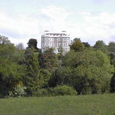
Bury Manor
2.1 km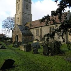
Church of St James the Great
1.9 km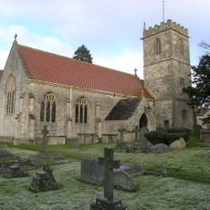
Church of Holy Trinity
298 m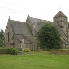
Church of St Bartholomew
3.1 km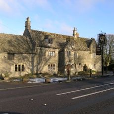
The White Hart
3 km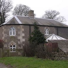
Oldfield Gatehouse
2.4 km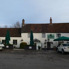
Rose And Crown
2.4 km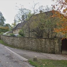
Walls Attached To South Elevation Of Stable Block
2.3 km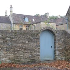
Wynter House
2.2 km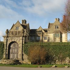
The Manor House
3.1 km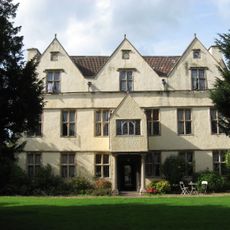
Wick Court
2.8 km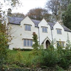
Roger's Orchard
2.3 km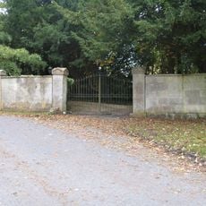
Gate Piers And Wall About 35 Metres North West Of The Old Rectory
2.1 km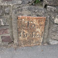
Milestone About 130 Metres West Of The Lawn
2.4 km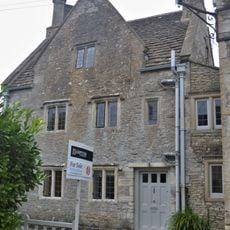
Hobbema House
2.1 km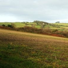
Hamswell House
2.9 km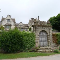
Garden Walls And Gateways About 15 Metres South Of The Manor House
3.2 km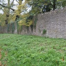
Wall About 200 Metres West Of Stable Block Attached To South Of Dyrham House
2.2 km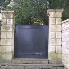
Pair Of Gate Piers And Steps About 12 Metres North Of The Old Rectory
2.1 km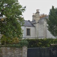
The Old Rectory
2.1 km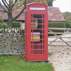
K6 Telephone Kiosk Outside Post Office
2 km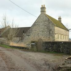
Lilliput Farmhouse
3.3 km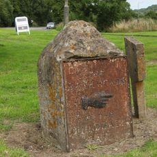
Guidestone At Junction With Bury Lane
2 km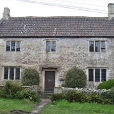
Old School House
2.1 km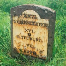
Milestone At Ngr St 7468 7457
2.4 km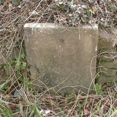
Milestone, The Folly; opp. pub car park
3 km
Wall And Gates About 200 Metres West Of Dyrham House
2.3 km
Barn About 14 Metres West Of The Court House
3.1 kmReviews
Visited this place? Tap the stars to rate it and share your experience / photos with the community! Try now! You can cancel it anytime.
Discover hidden gems everywhere you go!
From secret cafés to breathtaking viewpoints, skip the crowded tourist spots and find places that match your style. Our app makes it easy with voice search, smart filtering, route optimization, and insider tips from travelers worldwide. Download now for the complete mobile experience.

A unique approach to discovering new places❞
— Le Figaro
All the places worth exploring❞
— France Info
A tailor-made excursion in just a few clicks❞
— 20 Minutes