
Ellerton, village and civil parish in the East Riding of Yorkshire, United Kingdom
Location: East Riding of Yorkshire
GPS coordinates: 53.85028,-0.92607
Latest update: March 9, 2025 21:09
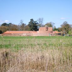
Thicket Priory
3.8 km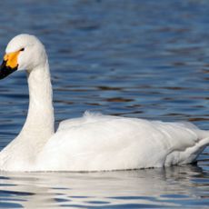
Derwent Ings
6.8 km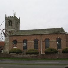
St Helen's Church, Wheldrake
5.7 km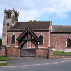
St Helen's Church, Thorganby
2.5 km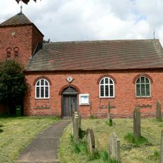
Church of Saint Edmund
7.5 km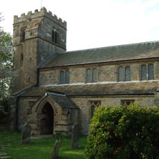
Church of Saint Michael and All Angels
7.4 km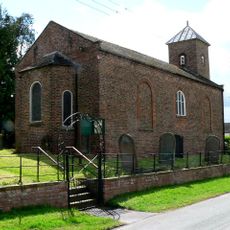
Church of St.Mary
2.6 km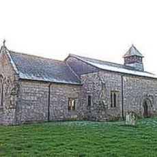
Church of St Michael
7.5 km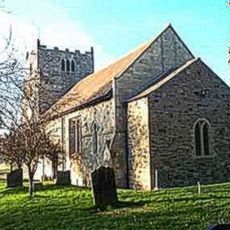
Church of All Saints
1.4 km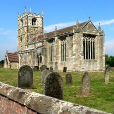
Church of Saint Helen
5.2 km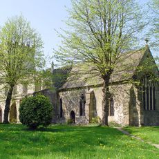
Church of All Saints
3.7 km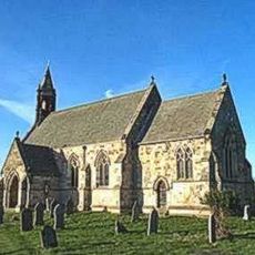
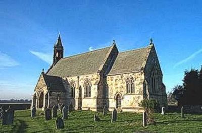
Church of St Mary
594 m
Motte and bailey castle, fishpond and moated site north and east of Aughton church
1.3 km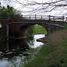
Hagg Bridge
5.4 km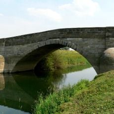
Derwent Bridge
3.4 km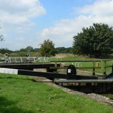
Gardham Lock And Swing Bridge
5.9 km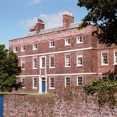
Skipwith Hall
5 km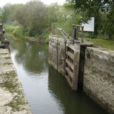
Pocklington Canal Cottingwith Lock
2.9 km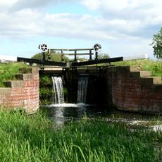
Pocklington Canal Walbut Lock
7.7 km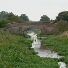
Pocklington Canal Church Bridge
6.8 km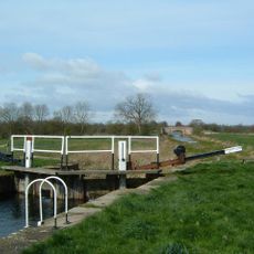
Pocklington Canal Thornton Lock
7 km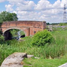
Pocklington Canal Walbut Bridge
7.7 km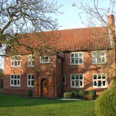
Holmes House
7.4 km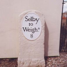
Milestone To East End Of Milestone Cottage
5.2 km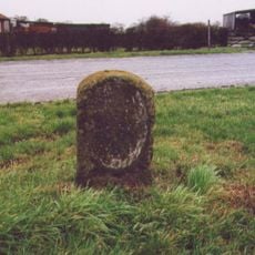
Milestone, adjacent to Green Farm, Harlthorpe
3.9 km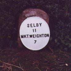
Milestone, Allberries Farm
6.3 km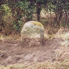
Milestone, E of Marlpits Farm entrance
8.1 km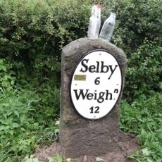
Milestone, E of North Duffield
3.5 kmVisited this place? Tap the stars to rate it and share your experience / photos with the community! Try now! You can cancel it anytime.
Discover hidden gems everywhere you go!
From secret cafés to breathtaking viewpoints, skip the crowded tourist spots and find places that match your style. Our app makes it easy with voice search, smart filtering, route optimization, and insider tips from travelers worldwide. Download now for the complete mobile experience.

A unique approach to discovering new places❞
— Le Figaro
All the places worth exploring❞
— France Info
A tailor-made excursion in just a few clicks❞
— 20 Minutes