
Weldon, village and civil parish in the English county of Northamptonshire
Location: North Northamptonshire
GPS coordinates: 52.49560,-0.63890
Latest update: March 6, 2025 03:05
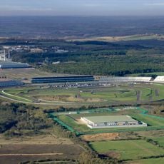
Rockingham Motor Speedway
2.5 km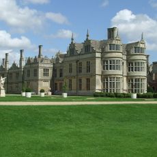
Kirby Hall
3.2 km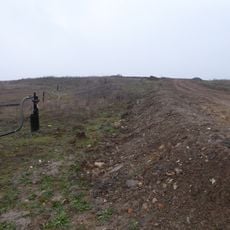
Cowthick Quarry
1.5 km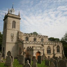
Church of St Mary the Virgin
323 m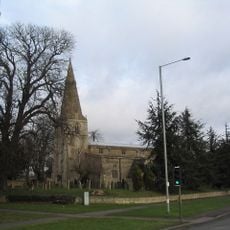
Church of St John the Baptist
2.8 km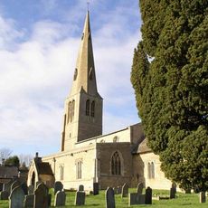
Church of St Peter
2.8 km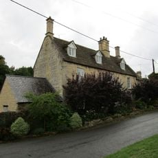
20, Church Street
341 m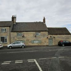
The Woolpack Public House
342 m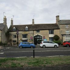
The George Hotel And Restaurant
257 m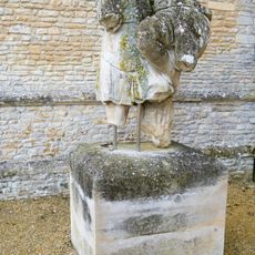
Statue Approximately 120 Metres East Of Garden Front Of Kirby Hall
3.1 km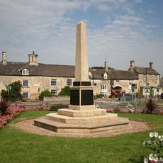
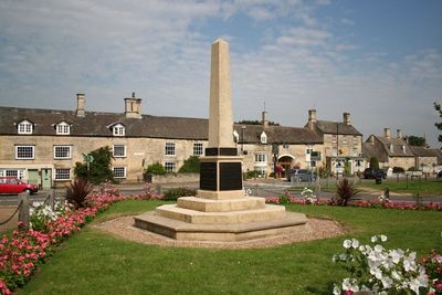
Weldon War Memorial, Northamptonshire
253 m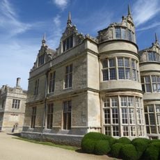
Group Of Kerbstones In Forecourt, Kirby Hall
3.2 km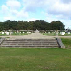
Steps Approximately 60 Meteres South West Of Garden Front Of Kirby Hall
3.1 km
Kirby Hall: an Elizabethan country house and gardens and the remains of the medieval village of Kirby
3.1 km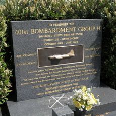
401st Bombardment Group USAAF Memorial, Deenethorpe
3.5 km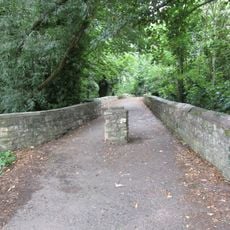
Causeway
286 m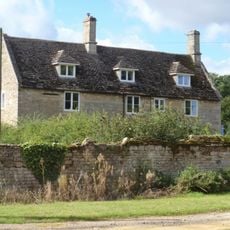
Home Farmhouse
3.6 km
9, 10 And 11, School Lane
372 m
11, Stamford Road
291 m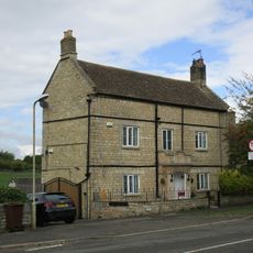
The Rosary
379 m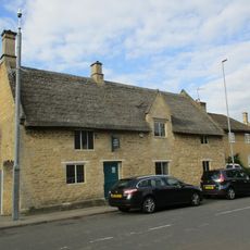
75 And 77, High Street
2.9 km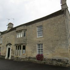
27, High Street
188 m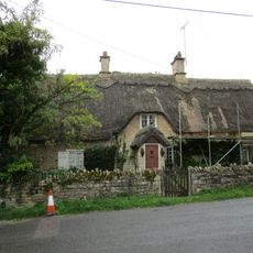
The Old Rectory Lodge
338 m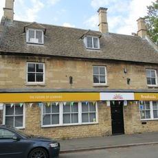
57, High Street
3 km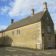
The Old School House And Attached Studio
2.9 km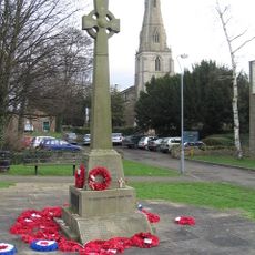
Corby War Memorial
2.8 km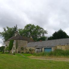
Weldon Lodge
1.9 km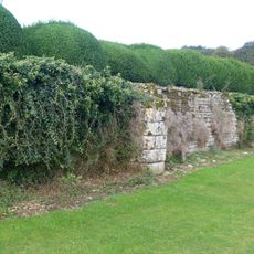
Retaining Wall Attached To South Of Garden Front Of Kirby Hall
3.2 kmReviews
Visited this place? Tap the stars to rate it and share your experience / photos with the community! Try now! You can cancel it anytime.
Discover hidden gems everywhere you go!
From secret cafés to breathtaking viewpoints, skip the crowded tourist spots and find places that match your style. Our app makes it easy with voice search, smart filtering, route optimization, and insider tips from travelers worldwide. Download now for the complete mobile experience.

A unique approach to discovering new places❞
— Le Figaro
All the places worth exploring❞
— France Info
A tailor-made excursion in just a few clicks❞
— 20 Minutes