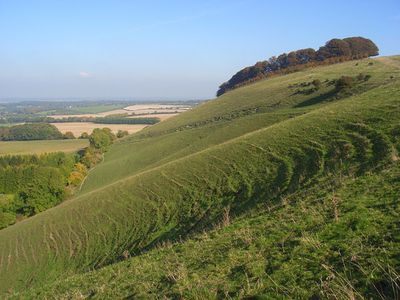
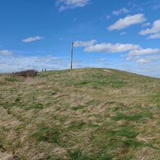
Ham Hill, Wiltshire, Protected chalk downland in Hungerford, England.
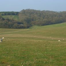
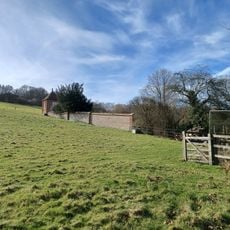
Ham Hill is a protected chalk downland site in Hungerford covering 2 hectares with varied vegetation zones. The landscape features steep slopes mixed with short herb grasslands and areas of taller plants across the reserve.
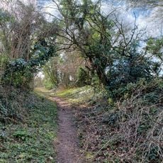
A sunken track running through the site originated in Saxon or medieval times as a route connecting Hungerford and Andover. This ancient path remains visible as a physical feature shaped by centuries of use.
The reserve maintains its appearance through traditional sheep grazing, a practice that keeps the native chalk grassland in good condition. This land management shapes how the landscape looks and feels throughout the year.
Entry is through a northern entrance with parking space for about two cars near the kissing gate. The paths inside include steep steps, so sturdy footwear is recommended for safe movement.
The site holds one of only two confirmed populations of musk orchids in Wiltshire alongside seven other orchid species. This rare combination of plants makes it a significant location for these particular orchids across the entire region.
The community of curious travelers
AroundUs brings together thousands of curated places, local tips, and hidden gems, enriched daily by 60,000 contributors worldwide.