
Chapel and Hill Chorlton, civil parish in Newcastle-under-Lyme, Staffordshire, England
Location: Newcastle-under-Lyme
GPS coordinates: 52.94330,-2.29178
Latest update: April 8, 2025 08:33
Maer Hall
1.3 km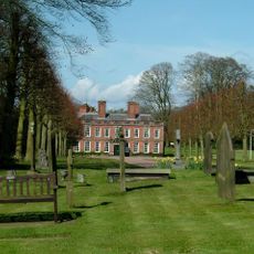
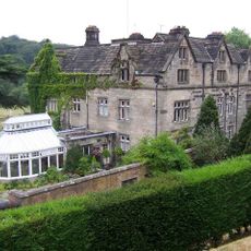
Whitmore Hall
2.8 km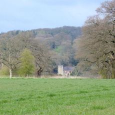
Church of St Peter
1.2 km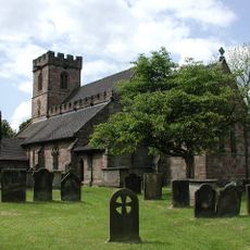
Church of All Saints
3.8 km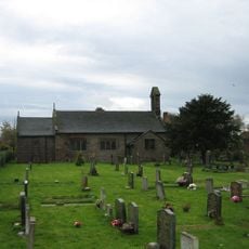
Church of St James
4.5 km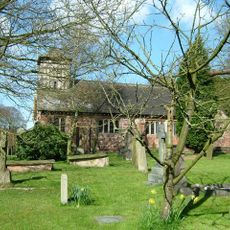
Church of St Mary and All Saints
2.6 km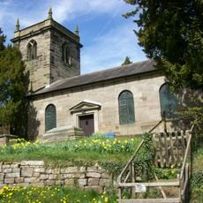
Church of St Lawrence
1.1 km
Hatton Water Pumping Station Boiler House And Chimney
2.9 km
Park Bridge, Steps And Revetment Walls About 100 Metres North Of Maer Hall
1.3 km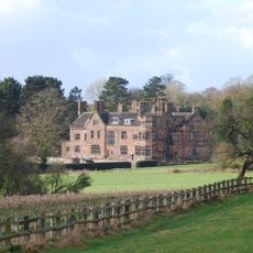
Standon Hall (Now Part Of Standon Hall Orthopaedic Hospital)
3.1 km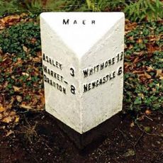
Milepost At Ngr Sj 7853 3968
2.3 km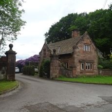
Lodge Of Standon Hall
3.2 km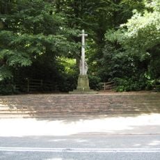
Maer War Memorial
1.6 km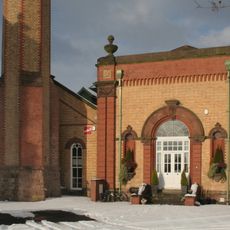
Hatton Water Pumping Station Secondary Pump House
2.9 km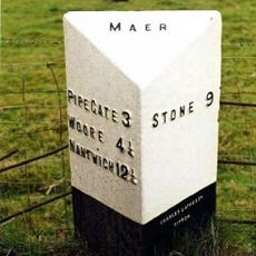
Milepost At Ngr Sj 7823 3884
2.3 km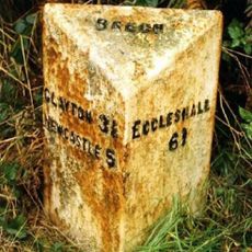
Milepost, N of Beech
4.7 km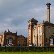
Hatton Water Pumping Station And Chimney
2.9 km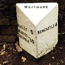
Milepost At Ngr Sj 8132 4112
2.8 km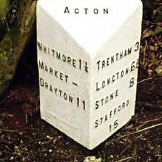
Milepost At Ngr Sj 8257 4183
3.9 km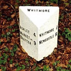
Milepost At Ngr Sj 7980 4054
2.2 km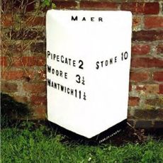
Milepost At Ngr Sj 7665 3897
3.9 km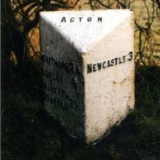
Milepost At Ngr Sj 8242 4217
4.2 km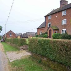
Weston House Farmhouse
1.9 km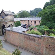
Gatehouse, flanking walls and bollards to Maer Hall
1.3 km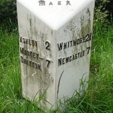
Milepost At Ngr Sj 7724 3878
3.3 km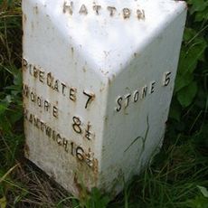
Milepost, Black Bank
3.1 km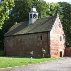
Old Stable Block
2.8 km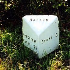
Milepost, The Rowe
1.7 kmVisited this place? Tap the stars to rate it and share your experience / photos with the community! Try now! You can cancel it anytime.
Discover hidden gems everywhere you go!
From secret cafés to breathtaking viewpoints, skip the crowded tourist spots and find places that match your style. Our app makes it easy with voice search, smart filtering, route optimization, and insider tips from travelers worldwide. Download now for the complete mobile experience.

A unique approach to discovering new places❞
— Le Figaro
All the places worth exploring❞
— France Info
A tailor-made excursion in just a few clicks❞
— 20 Minutes