
St Michael the Archangel's Church, Booton
4.6 km
St Mary's Church, Elsing
5.3 km
St Faith's Church, Little Witchingham
2.4 km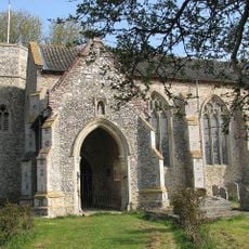
St Nicholas' Church, Brandiston
5.1 km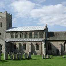
Church of St Peter
5.3 km
Church of St Margaret
3.4 km
Church of St Michael and All Angels
4.6 km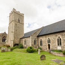
Church of the Nativity of St Mary
4.6 km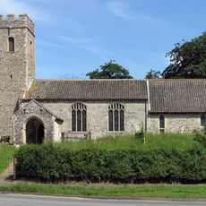
Church of St Andrew
3.1 km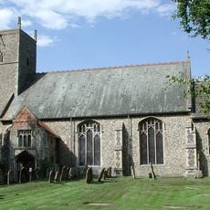
Church of St Margaret
3.3 km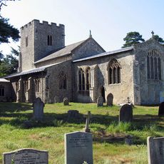
Church of St Margaret
3.4 km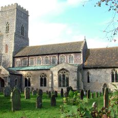
Church of St Mary
1.8 km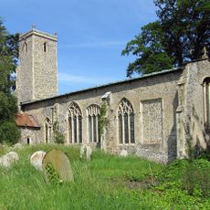
Church of St John the Baptist
2.3 km
Church of All Saints
2.7 km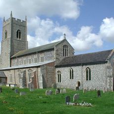
Church of St Mary
3.3 km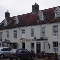
The Bridge Public House
52 m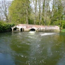
Weir Bridge
3 km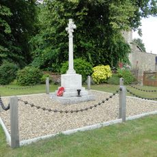
Weston Longville War Memorial
2.7 km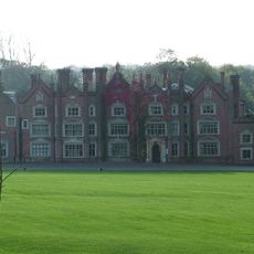
Great Witchingham Hall
1.1 km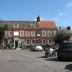
The Old Brewery House, Gates And Railings
4.6 km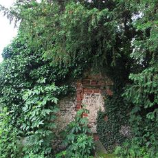
Fragment. Church Of All Saints. 14 Metres South West Of St Michaels Church
4.6 km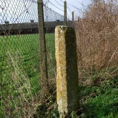
Wayside cross 160m north west of Stump Cross Farm
5.1 km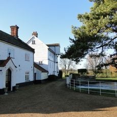
Elsing Mill Including Wheel House And Wheel Adjoining East
5.2 km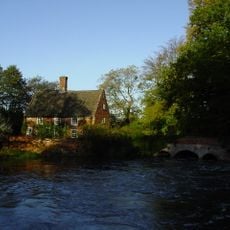
Mill House
3 km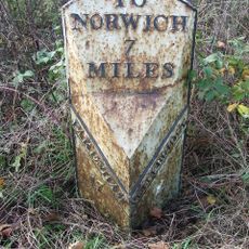
Milepost, 10m N of double metal farm gate into field
4.2 km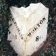
Milepost, 100m N of No. 10 The Street
2.8 km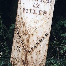
Milepost, 50yds E of Coach House
3.5 km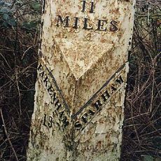
Milepost, 140yds E of turning to Wildlife Park
1.9 kmReviews
Visited this place? Tap the stars to rate it and share your experience / photos with the community! Try now! You can cancel it anytime.
Discover hidden gems everywhere you go!
From secret cafés to breathtaking viewpoints, skip the crowded tourist spots and find places that match your style. Our app makes it easy with voice search, smart filtering, route optimization, and insider tips from travelers worldwide. Download now for the complete mobile experience.

A unique approach to discovering new places❞
— Le Figaro
All the places worth exploring❞
— France Info
A tailor-made excursion in just a few clicks❞
— 20 Minutes