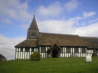
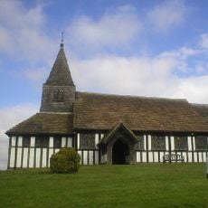
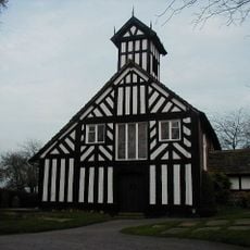
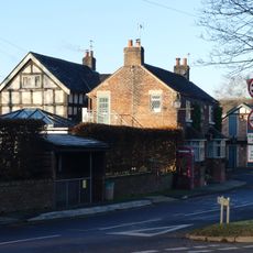
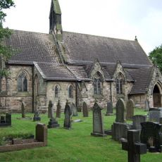
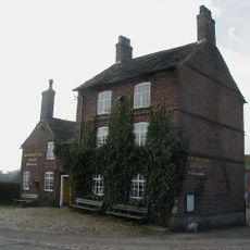
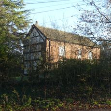
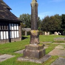
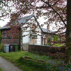
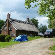
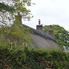
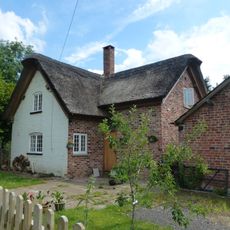
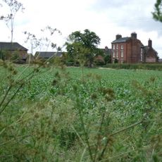
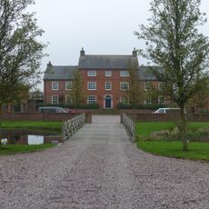
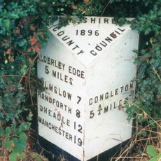
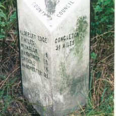
Marton, village and civil parish in Cheshire East, UK
Location: Cheshire East
Shares border with: 
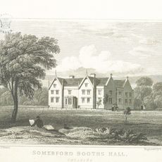
Siddington, Lower Withington, Swettenham, Somerford Booths, Hulme Walfield, Eaton, North Rode, Gawsworth
GPS coordinates: 53.21100,-2.22500
Latest update: March 5, 2025 17:39
St James' and St Paul's Church, Marton
249 m
All Saints Church, Siddington
2.6 km
Somerford Booths Hall
3.4 km
Christ Church, Eaton
3.4 km
The Plough Inn
3.3 km
St Michael's Church, Hulme Walfield
3.3 km
Harrington Arms
3.8 km
Church House
3.4 km
Churchyard cross at St James' and St Paul's Church
259 m
Oak Farm
143 m
Nursery Lane Cottage
3.3 km
Oak Cottage
93 m
Pump Cottage
47 m
Havannah Bridge
4 km
Roadside Cottage Roadside House
3.2 km
Holly Bank Farm
908 m
Blake House Cottage
3.5 km
Greenacres
149 m
The School House
3.1 km
Havannah Weir
4 km
Hulme Walfield Hall
2.8 km
Brick House Farmhouse
3 km
Milepost, S of jct at Siddington
2.6 km
Milepost, S of Church
445 m
Milepost, S of Brickyard Farm
1.9 km
Milepost, SE of Midway Farmhouse, nr bend
3.5 km
Milepost, Havannah Lane jct
4 km
Milepost, opp. Maypole Farm
2.8 kmReviews
Visited this place? Tap the stars to rate it and share your experience / photos with the community! Try now! You can cancel it anytime.
Discover hidden gems everywhere you go!
From secret cafés to breathtaking viewpoints, skip the crowded tourist spots and find places that match your style. Our app makes it easy with voice search, smart filtering, route optimization, and insider tips from travelers worldwide. Download now for the complete mobile experience.
A unique approach to discovering new places❞
— Le Figaro
All the places worth exploring❞
— France Info
A tailor-made excursion in just a few clicks❞
— 20 Minutes