
Osgathorpe, village and civil parish in Leicestershire, United Kingdom
Location: North West Leicestershire
GPS coordinates: 52.77134,-1.36602
Latest update: March 7, 2025 09:50
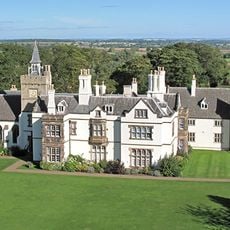
Grace Dieu Manor
1.8 km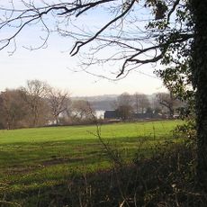
Blackbrook Reservoir
3.6 km
Three Horseshoes
3.6 km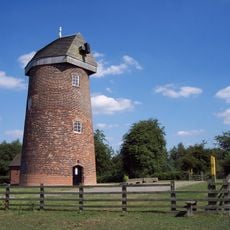
Hough Windmill
3 km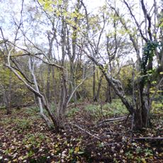
Breedon Cloud Wood and Quarry
2.2 km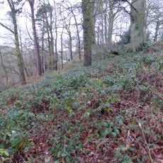
One Barrow Plantation
4.2 km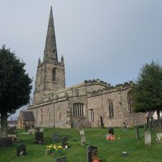
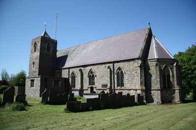
Church of St John the Baptist
2.3 km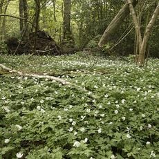
Grace Dieu and High Sharpley
2.8 km
Pasture and Asplin Woods
2 km
Shepshed Cutting
3.3 km
Lount Meadows
4.3 km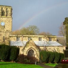
Church of St John the Baptist
3.4 km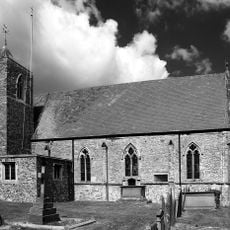
Church of St Mary
249 m
Church of St Matthew
2.5 km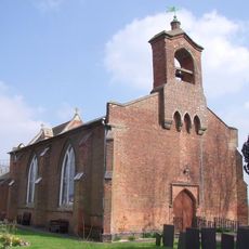
Church of St George
2.4 km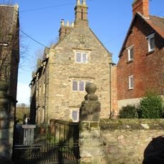
3-5, Church Lane
251 m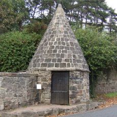
Lock Up And Pound
4.1 km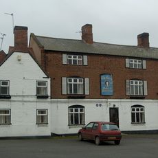
The George Public House
2.3 km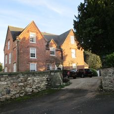
The Old Vicarage
2.3 km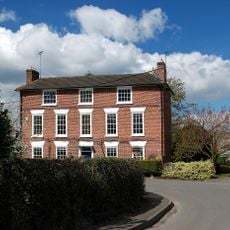
Hallington House
168 m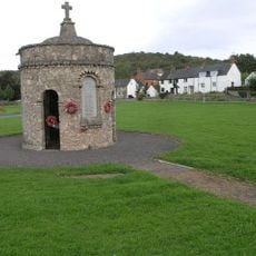
Breedon on the Hill War Memorial
4.2 km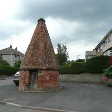
Lock up known as The Round House, at the junction of Church Street and St Matthew's Avenue
2.3 km
14, Long Street
2.1 km
16, Long Street
2.1 km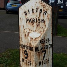
Milepost At Os Sk 456210
3.1 km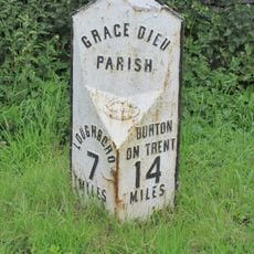
Milepost At Os Sk 432182
1.3 km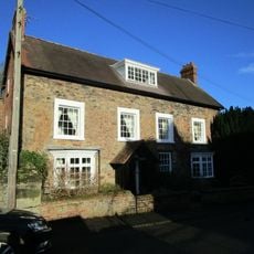
The Old Rectory
254 m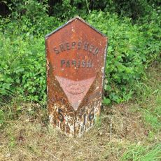
Milepost, Ashby Road West, SW of Blackbrook Hill House
3.4 kmVisited this place? Tap the stars to rate it and share your experience / photos with the community! Try now! You can cancel it anytime.
Discover hidden gems everywhere you go!
From secret cafés to breathtaking viewpoints, skip the crowded tourist spots and find places that match your style. Our app makes it easy with voice search, smart filtering, route optimization, and insider tips from travelers worldwide. Download now for the complete mobile experience.

A unique approach to discovering new places❞
— Le Figaro
All the places worth exploring❞
— France Info
A tailor-made excursion in just a few clicks❞
— 20 Minutes