
Newbald, civil parish in East Riding of Yorkshire, England
Location: East Riding of Yorkshire
Shares border with: Sancton, Cherry Burton, Bishop Burton, Walkington, Rowley, South Cave, Hotham, South Cliffe
GPS coordinates: 53.81667,-0.61667
Latest update: March 6, 2025 12:22
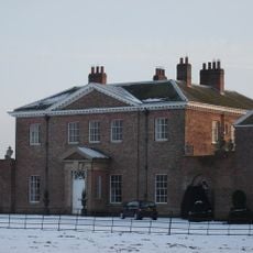
Houghton Hall
3.5 km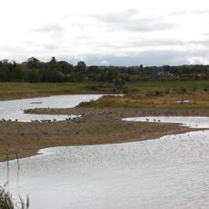
North Cave Wetlands
4.3 km
Rifle Butts Quarry
6.3 km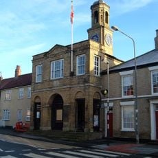
Market Hall
5.4 km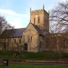
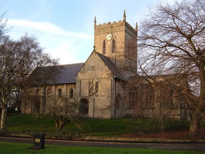
Church of Saint Nicholas
94 m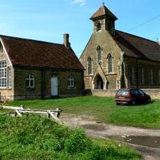
Church of St John, South Cliffe
3.9 km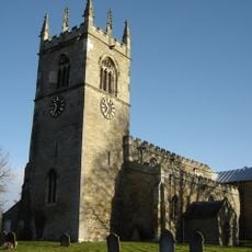
Church of All Saints
4 km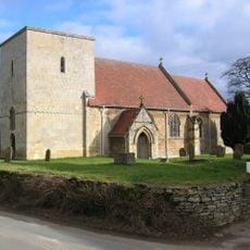
Church of St Oswald
2.6 km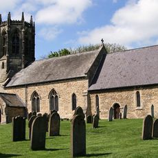
Church of All Saints
3.2 km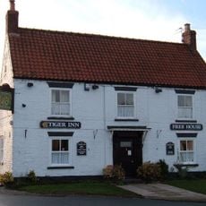
The Tiger Public House
230 m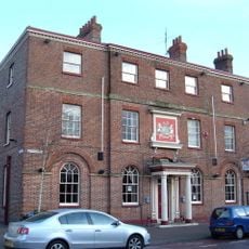
Londesborough Arms Hotel
6.3 km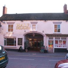
Half Moon Public House
6.3 km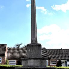
North Cave War Memorial
4.4 km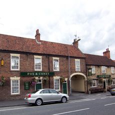
Fox And Coney Public House
5.3 km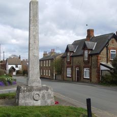
Hotham War Memorial
2.8 km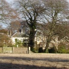
Hotham Hall
3.2 km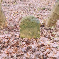
Milestone, at edge of Beverley Clump Wood
4.8 km
Milestone, E of lane to Cherry Burton
6.8 km
Mounting Block And Milepost
4.7 km
Milestone, on Nordham, entrance to Hotham Hall
3.9 km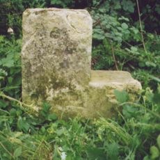
Milestone, 250m W of Lions Den Farm
5.3 km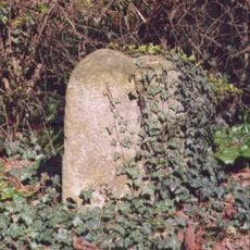
Milestone, N of jct. to South Newbald
738 m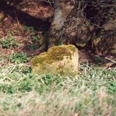
Milestone, N of entrance to Mask Farm
4.3 km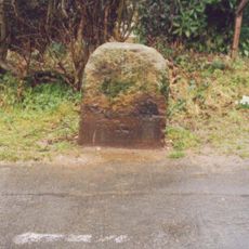
Milestone, South Cave, in front of No. 37 Beverley Road
5.3 km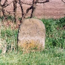
Milestone, N of entrance to Low Field Farm
1.1 km
Milestone, Everthorpe, 780m W of A1034 jct.
4.3 km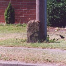
Milestone, Sancton Road, Market Weighton
5.6 km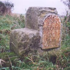
Milestone, W of Hessleskew X rds
5 kmVisited this place? Tap the stars to rate it and share your experience / photos with the community! Try now! You can cancel it anytime.
Discover hidden gems everywhere you go!
From secret cafés to breathtaking viewpoints, skip the crowded tourist spots and find places that match your style. Our app makes it easy with voice search, smart filtering, route optimization, and insider tips from travelers worldwide. Download now for the complete mobile experience.

A unique approach to discovering new places❞
— Le Figaro
All the places worth exploring❞
— France Info
A tailor-made excursion in just a few clicks❞
— 20 Minutes