
North Tamerton, human settlement in United Kingdom
Location: Cornwall
Elevation above the sea: 119.2 m
GPS coordinates: 50.75100,-4.39400
Latest update: March 3, 2025 16:42

Penhallam
8.7 km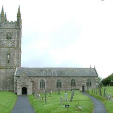
Church of the Nativity of the Blessed Virgin Mary
7.5 km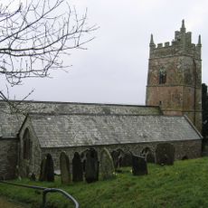
Parish Church of St Anne
5.1 km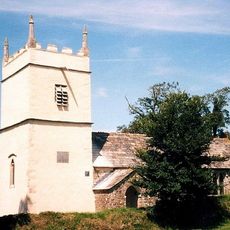
St James's Church, Luffincott
3.4 km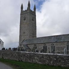
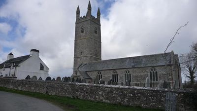
Church of St Denis, North Tamerton
25 m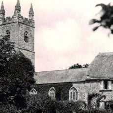
Church of St Bridget
6.6 km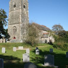
Church of St Paternus, North Petherwin
8.3 km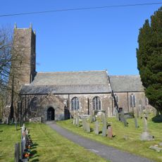
Church of St Swithin
5.6 km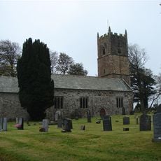
Church of St Leonard
4.1 km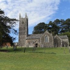
Church of the Holy Cross
2.2 km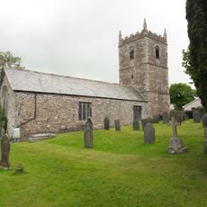
Church of the Holy Name
5.4 km
Incline Plane, Bridge And Wheel Pit To East Of Plane Cottage
7.3 km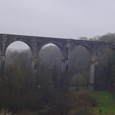
Derriton Viaduct
6.8 km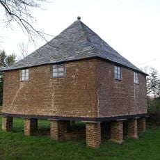
Granary About 30 Metres North West Of Tetcott Manor
2 km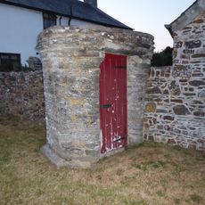
Well House About 4 Metres East Of The Old College
7.4 km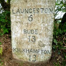
Milestone 100 Metres To North West Of Darracott Cottage
4.9 km
Milestone At Langdon Cross
7.4 km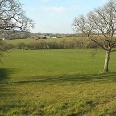
Eastacombe Farmhouse
4.8 km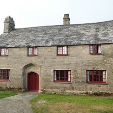
The Old College, Outbuilding Adjoining Left Gable End Of College, Wall Adjoining Right Front Of College
7.4 km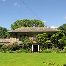
The Old Rectory And Walls Enclosing Garden To North East
4.8 km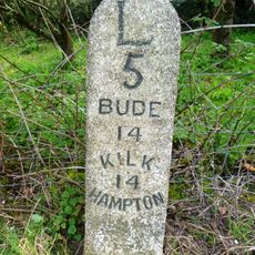
Milestone At Bennacott
6 km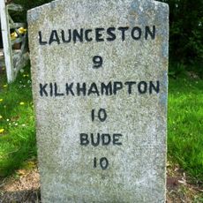
Milestone, in street on wide verge
4.3 km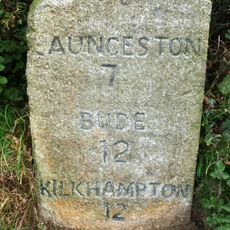
Milestone, Parkhurst, West Curry
4.1 km
Milestone, Whitstone village
4.7 km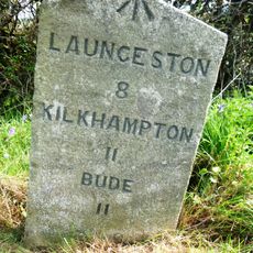
Milestone, S of Willsworthy Cross
4.2 km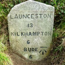
Milestone, N of Jewells Cross
7.6 km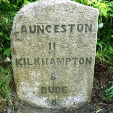
Milestone, near Tonkins Farm
5.2 km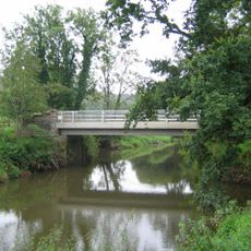
Boyton Bridge
5.3 kmVisited this place? Tap the stars to rate it and share your experience / photos with the community! Try now! You can cancel it anytime.
Discover hidden gems everywhere you go!
From secret cafés to breathtaking viewpoints, skip the crowded tourist spots and find places that match your style. Our app makes it easy with voice search, smart filtering, route optimization, and insider tips from travelers worldwide. Download now for the complete mobile experience.

A unique approach to discovering new places❞
— Le Figaro
All the places worth exploring❞
— France Info
A tailor-made excursion in just a few clicks❞
— 20 Minutes