
Olrig, Scottish parish in Highland, Scotland, UK
Location: Highland
Shares border with: Dunnet, Bower, Thurso
GPS coordinates: 58.57571,-3.39117
Latest update: March 2, 2025 23:26
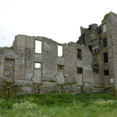
Thurso Castle
7.3 km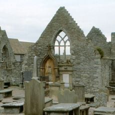
Thurso, Wilson Lane, Old St Peter's Church And Burial-ground
7.6 km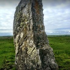
Stone Lud
5.4 km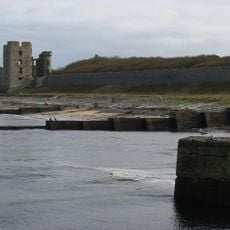
Thurso East
7.4 km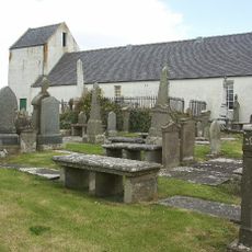
Dunnet Church
5.8 km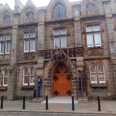
Thurso, High Street, Town Hall
7.7 km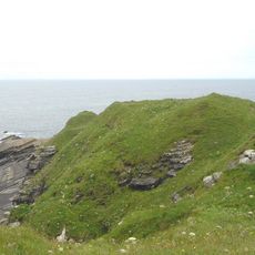
Brough
8.7 km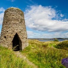
Castlehill Heritage Center
2.5 km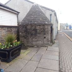
Thurso, Mansons Lane, Meadow Well
7.8 km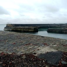
Castlehill Harbour
2.6 km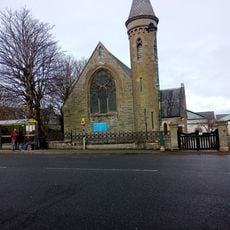
St Peter And The Holy Rood Episcopal Church, 2 Sir George's Street, Thurso
7.8 km
Caithness Horizons Museum
7.7 km
Mary Ann's Cottage
5.8 km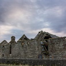
Castletown, Mill
2.2 km
Thurso Bridge
7.7 km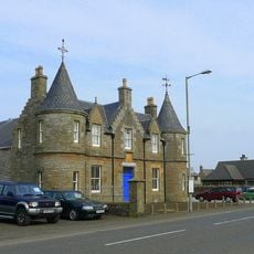
Castletown Drill Hall, Main Street, Castletown
1.9 km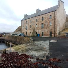
Boathouse, Harbour, Castlehill
2.4 km
Carnegie Library, Thurso
7.7 km
Thurso, 5 Market Street
7.8 km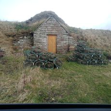
Ice House, Castletown
2.3 km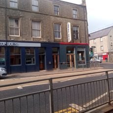
1-3 Traill Street, Thurso
7.8 km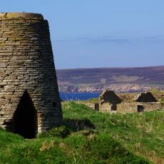
Castlehill Windmill,Olrig
2.5 km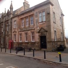
North Coast Visitor Centre
7.7 km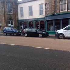
Thurso, 13 Traill Street
7.8 km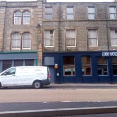
Thurso, 11 Traill Street
7.8 km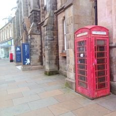
Thurso, High Street, Telephone Kiosk
7.7 km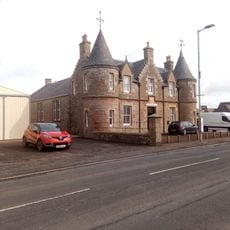
Boundary walls and gatepiers, Castletown Drill Hall, Main Street, Castletown
1.9 km
Thurso, 15 Traill Street, Clydesdale Bank
7.8 kmVisited this place? Tap the stars to rate it and share your experience / photos with the community! Try now! You can cancel it anytime.
Discover hidden gems everywhere you go!
From secret cafés to breathtaking viewpoints, skip the crowded tourist spots and find places that match your style. Our app makes it easy with voice search, smart filtering, route optimization, and insider tips from travelers worldwide. Download now for the complete mobile experience.

A unique approach to discovering new places❞
— Le Figaro
All the places worth exploring❞
— France Info
A tailor-made excursion in just a few clicks❞
— 20 Minutes