Onley, lost settlement in England
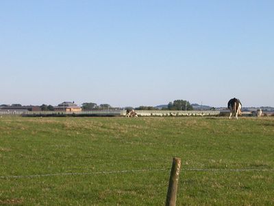
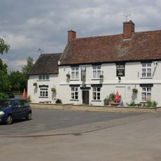
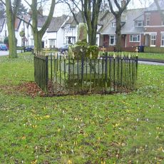
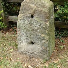
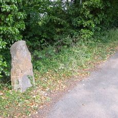
Onley is a scheduled monument in West Northamptonshire that was once a village but is now open land with visible remains of past structures. The earthworks clearly show old street patterns and building foundations, while proximity to modern roads like the A45 demonstrates how the historic site sits within contemporary infrastructure.
Onley first appears in records in 1272 and was closely linked to nearby Barby, with both places grouped together in early tax records. By the early 1700s the village had gradually been abandoned and converted to sheep pasture, with only shepherd houses remaining and later a few scattered farms.
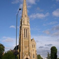
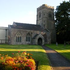
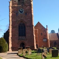
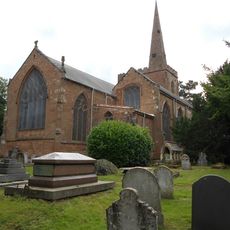
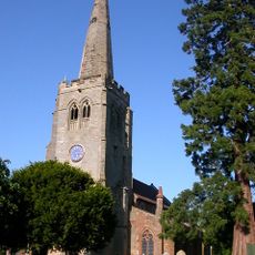
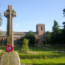
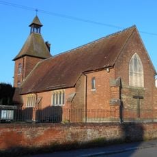
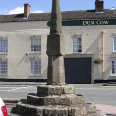
Onley was once known for crafts like weaving and shoemaking that shaped local life for generations. Today these trades have vanished, but the pink stone church dating to the 1200s remains a gathering point and shows how long people have lived here.
The site is accessible from nearby modern roads but sits in open countryside requiring careful walking over fields. Wear weather-proof clothing and sturdy shoes as the ground can be muddy and uneven, especially after rain.
Archaeologists value Onley for its well-preserved earthworks that offer a rare window into how villages gradually decline and disappear over time. The visible ridge and furrow patterns from old farming methods show how human activity shaped the landscape across centuries.
The community of curious travelers
AroundUs brings together thousands of curated places, local tips, and hidden gems, enriched daily by 60,000 contributors worldwide.