
Pucklechurch, village and civil parish in Gloucestershire, UK
Location: South Gloucestershire
Shares border with: Westerleigh
GPS coordinates: 51.48694,-2.43528
Latest update: March 16, 2025 17:17
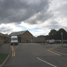
HM Prison Ashfield
679 m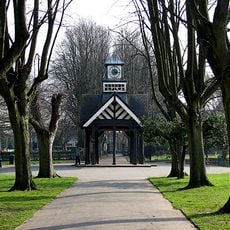
Page Park
4.4 km
Church of St Saviour
4.9 km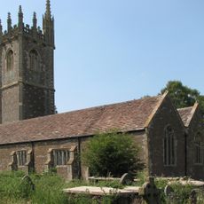
Church of St James the Great
3.1 km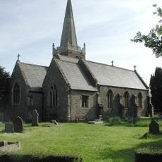
Church of St James
3.4 km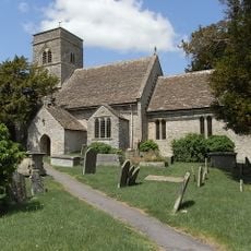
Parish Church of St Anne
1.7 km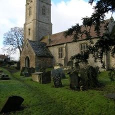
Church of St James the Great
1.8 km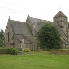
Church of St Bartholomew
3.8 km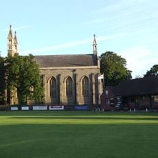
Christ Church
4.9 km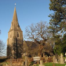
Church of St Barnabas
4.1 km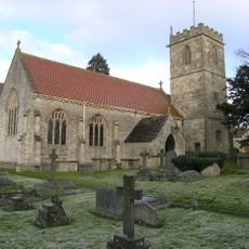
Church of Holy Trinity
3.3 km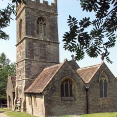
Church of St Peter
3.5 km
Milestone Opposite Junction With Church Avenue
4 km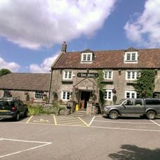
The Bull Inn
3.7 km
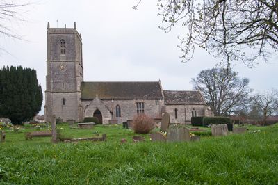
Church of St Thomas à Becket
52 m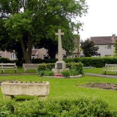
Mangotsfield War Memorial
3.5 km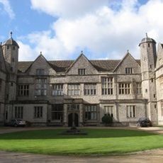
Siston Court
1.7 km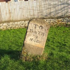
Mile Stone Immediately South East Of Webb's Farmhouse
3.2 km
Sign Of The Dolphin
3.8 km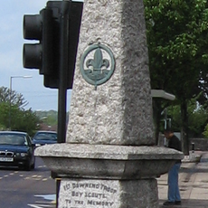
Downend Boy Scouts' War Memorial
4.7 km
Warmley Signal Box
4.1 km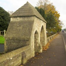
Lychgate And Attached Walls About 30 Metres East Of Church Of St Saviour
4.9 km
Mile Stone Approximately 120 Yards North West Of Cherry Cottage
3.5 km
The Old Turnpike
1.3 km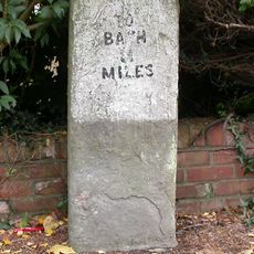
Milestone, Rodway Hill
3.5 km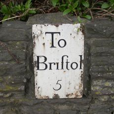
Guidestone, Bridge Yate, London Road & Bath Road jct
3.7 km
Milestone, Riding Barn Hill, Wick, by No. 72
3.9 km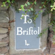
Milestone, Downend Road; opp. jcn Christchurch Lane by No. 72B
5.1 kmVisited this place? Tap the stars to rate it and share your experience / photos with the community! Try now! You can cancel it anytime.
Discover hidden gems everywhere you go!
From secret cafés to breathtaking viewpoints, skip the crowded tourist spots and find places that match your style. Our app makes it easy with voice search, smart filtering, route optimization, and insider tips from travelers worldwide. Download now for the complete mobile experience.

A unique approach to discovering new places❞
— Le Figaro
All the places worth exploring❞
— France Info
A tailor-made excursion in just a few clicks❞
— 20 Minutes