
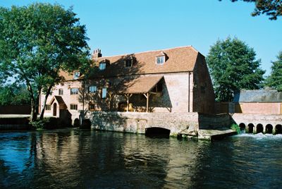
Sadler's Mill, Watermill in Romsey Extra, England
Sadler's Mill is a two-story brick watermill in Romsey Extra that features a distinctive half-hipped tile roof and toothed eaves cornice. The building preserves its central hoist door and cart entrance sheltered beneath a projecting lean-to, along with original mechanical components for grain processing.
The mill originated in the 16th century and operated as a corn and grist processing facility until 1932. It changed hands several times throughout its long history, reflecting the shifting nature of agricultural commerce in the region.
The mill represents an important part of the local working landscape, showing how communities once depended on such facilities for processing grain. Walking around it, visitors can sense the practical role it played in daily life.
Visitors can walk around the building to observe its external features and preserved mechanical elements from various angles. The site is accessible on foot and allows a clear view of the mill's architectural details and overall structure.
Restoration work in 2005 revealed through carbon dating evidence of an earlier structure from around 1650 that predates the current building. This discovery shows the site maintained importance for grain processing across multiple generations.
Location: Romsey Extra
GPS coordinates: 50.98626,-1.50670
Latest update: December 14, 2025 14:44
Broadlands
933 m
Romsey Abbey
536 m
Corn Exchange
596 m
Romsey Town Hall
471 m
Plaza Theatre, Romsey
1.2 km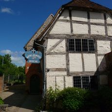
King John's House
642 m
The Abbey United Reformed Church
510 m
Statue of Lord Palmerston
570 m
Star Inn
709 m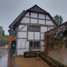
1, Church Court
626 m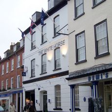
The White Horse Hotel
627 m
Romsey Library
904 m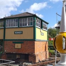
Romsey Signal Box
1.3 km
Gateway At Ashfield Lodge
1.8 km
Latimer Arms Public House
729 m
Waterloo Memorial At Romsey Abbey
511 m
Broadwater House
534 m
Tudor Rose Public House
574 m
Rivermead
276 m
Folly In Garden Of The Vicarage 50 Metres West Of House
489 m
Vicarage
501 m
Gunville Gatehouse
1.3 km
Manor House
777 m
Milestone On West Side At Top Of Pauncefoot Hill
982 m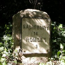
Milestone 30 Metres West Of Lay-By On North Side At Top Of Green Hill
783 m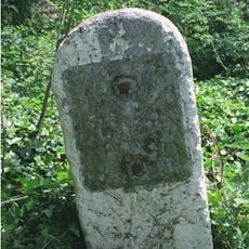
Milestone On East Side 60 Metres South Of Entrance To Ranvilles Farm
2.3 km
Middle Bridge
278 m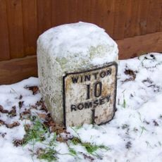
Milestone, Winchester Hill, Harefield; opp. service station
2 kmVisited this place? Tap the stars to rate it and share your experience / photos with the community! Try now! You can cancel it anytime.
Discover hidden gems everywhere you go!
From secret cafés to breathtaking viewpoints, skip the crowded tourist spots and find places that match your style. Our app makes it easy with voice search, smart filtering, route optimization, and insider tips from travelers worldwide. Download now for the complete mobile experience.

A unique approach to discovering new places❞
— Le Figaro
All the places worth exploring❞
— France Info
A tailor-made excursion in just a few clicks❞
— 20 Minutes