
Stithians, village in Cornwall, United Kingdom
Location: Cornwall
Elevation above the sea: 123.1 m
GPS coordinates: 50.18700,-5.17500
Latest update: April 10, 2025 09:55
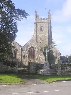
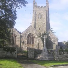
Church of Saint Stedian
537 m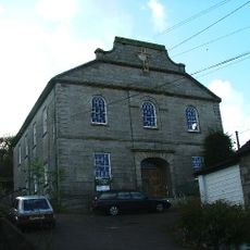
Ponsanooth Methodist Church
2.5 km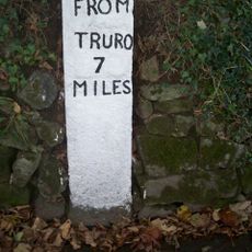
Milestone C. 300M North Of Sunny Corner Farm
2.5 km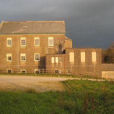
Stithians Methodist Church (formerly Penmennor Methodist Church)
1.1 km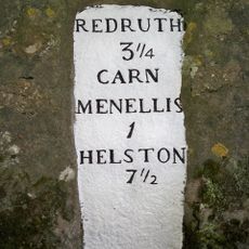
Milestone In Garden Wall Of Menherion House
2.7 km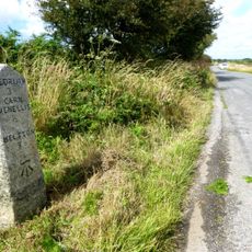
Milestone At Sw703364
3 km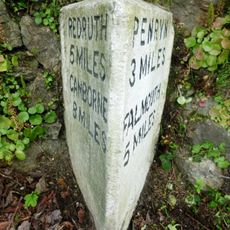
Milestone At Sw758376
2.6 km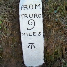
Milestone Circa 40M South-West Of No. 7 Southlea Terrace
460 m
Wendron Mining District
4.5 km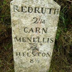
Milestone At Sw705384
3.3 km
Milestone At Sw728346
2.2 km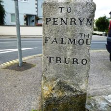
Guidepost At Sw727339
2.9 km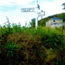
Guide Post At Sw703355
3.4 km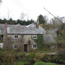
Kennal Vale Mill And Former Miller's House
1.2 km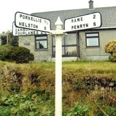
Guide Post At Sw704354
3.3 km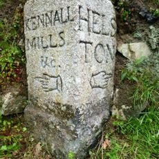
Guide Post At Sw741371
830 m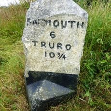
Milestone At Sw726338
3 km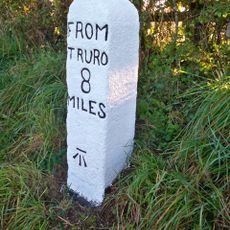
Milestone At Sw741374
1 km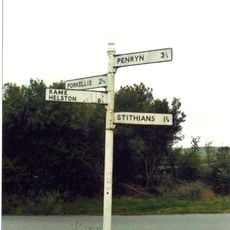
Guide Post At Sw727342
2.6 km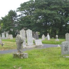
Cross At Sw702357
3.4 km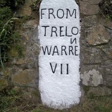
Milestone At Sw718328
4.2 km
Wayside cross 100m south east of Tretheague House
758 m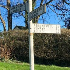
Guide Post At Sw735373
671 m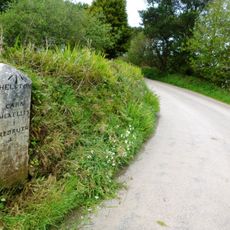
Milestone At Sw702347
3.8 km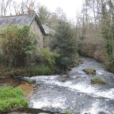
Office, Stables And Waggon Sheds Immediately East Of Kennal Vale Mill
1.2 km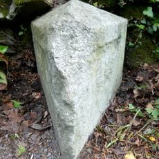
Milestone, Pengreep, by entrance to Pengrean, just before bend
2.6 km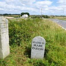
Guidestone, approach to village, beside MABE stone, Longdowns
2.9 km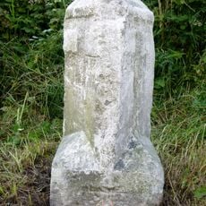
Milestone, near Carveth
2.8 kmVisited this place? Tap the stars to rate it and share your experience / photos with the community! Try now! You can cancel it anytime.
Discover hidden gems everywhere you go!
From secret cafés to breathtaking viewpoints, skip the crowded tourist spots and find places that match your style. Our app makes it easy with voice search, smart filtering, route optimization, and insider tips from travelers worldwide. Download now for the complete mobile experience.

A unique approach to discovering new places❞
— Le Figaro
All the places worth exploring❞
— France Info
A tailor-made excursion in just a few clicks❞
— 20 Minutes