
Terrington St John, human settlement in United Kingdom
Location: King's Lynn and West Norfolk
GPS coordinates: 52.70230,0.27352
Latest update: March 4, 2025 00:07
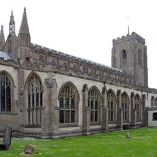
St Peter's Church, Walpole St Peter
4.5 km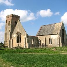
St Mary's Church, Islington, Norfolk
4.4 km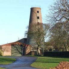
Ingleborough Tower Windmill
6.4 km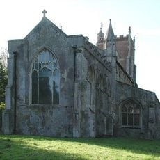
St Andrew's Church, Walpole
5 km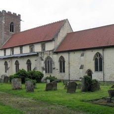
St Mary the Virgin's Church, Wiggenhall
4.6 km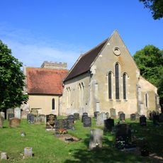
Church of St Lawrence
1.5 km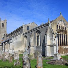
Church of Saint John
1.8 km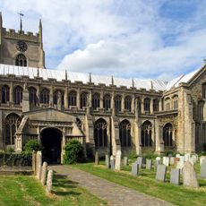
Church of Saint Clement
6.6 km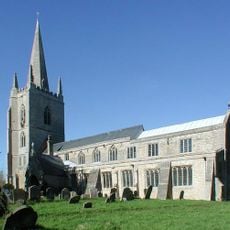
Church of All Saints
5 km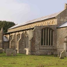
Church of St Mary
6.6 km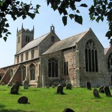
Church of St Germans
6 km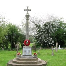
Terrington St John War Memorial Cross
1.8 km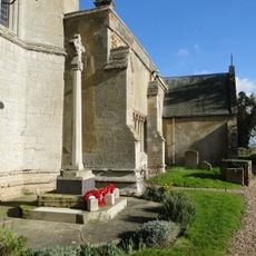
Tilney All Saints War Memorial Cross
5 km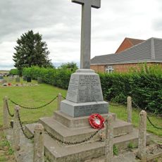
Marshland Smeeth and Fen War Memorial
5 km
Tower to Church of Saint Clement
6.6 km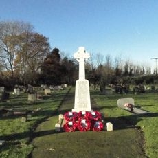
West Walton War Memorial
6.8 km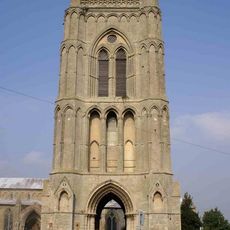
Bell Tower Of Church Of St Mary
6.6 km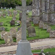
Wiggenhall St Germans War Memorial
5.9 km
Walpole St Andrew War Memorial
5 km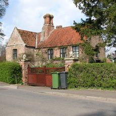
Dovecot Farmhouse
4.6 km
St Germans Hall
5.6 km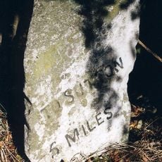
Milestone, Sutton Road, opp. No. 119
6.4 km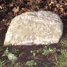
Milestone, Main Road, by 'Davmar',
4.1 km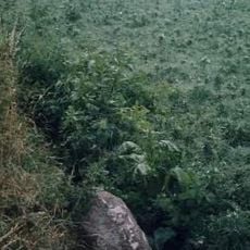
Milestone, Station Road, 130yds S of jct with White Cross Lane
5.2 km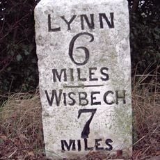
Milestone, by 'Milestone Farm'
992 m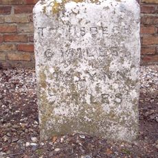
Milestone, Main Road, by Butterman's Farm,
793 m
Milestone, opp. West Drove Farm
3.7 km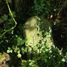
Milestone, Shepherdsgate Road, 25yds NW of The Chase, just left of field gate
4.3 kmVisited this place? Tap the stars to rate it and share your experience / photos with the community! Try now! You can cancel it anytime.
Discover hidden gems everywhere you go!
From secret cafés to breathtaking viewpoints, skip the crowded tourist spots and find places that match your style. Our app makes it easy with voice search, smart filtering, route optimization, and insider tips from travelers worldwide. Download now for the complete mobile experience.

A unique approach to discovering new places❞
— Le Figaro
All the places worth exploring❞
— France Info
A tailor-made excursion in just a few clicks❞
— 20 Minutes