
Sway, village and civil parish in Hampshire, United Kingdom
Location: New Forest
Website: https://sway-pc.gov.uk
GPS coordinates: 50.78300,-1.60000
Latest update: March 9, 2025 08:22
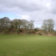
Buckland Rings
3.5 km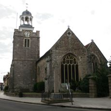
Church of St. Thomas the Apostle
4.8 km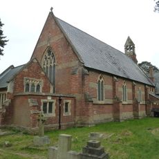
Church of St Mark
4.1 km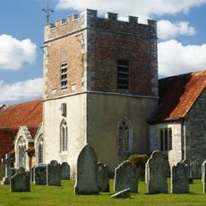
Church of St John
4.2 km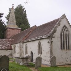
Church of St Nicholas
4.2 km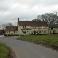
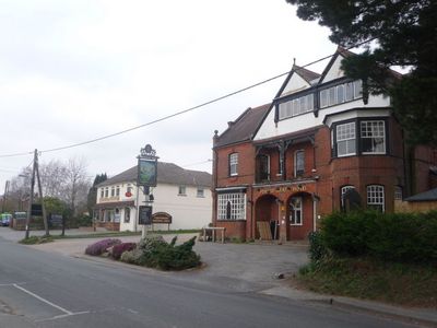
The Red Lion Inn
3.6 km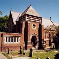
Church of All Saints
3.3 km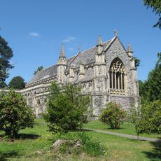
Church of St Saviour
4.2 km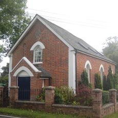
Chapel
3.7 km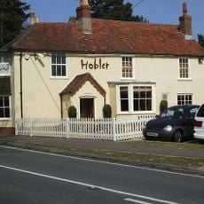
The Hobler Public House
2.5 km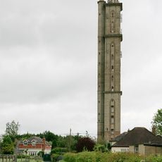
Peterson's Tower
1.5 km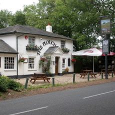
The Plough Public House
2.9 km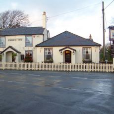
The Crown Public House
4.2 km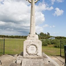
Sway War Memorial
531 m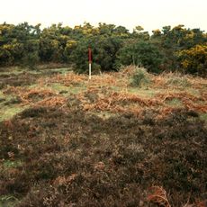
Bowl barrow on Wilverley Plain
4 km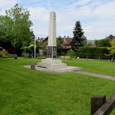
Brockenhurst War Memorial
4.3 km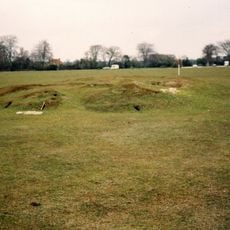
Bowl barrow 320m west of Ober House
4.3 km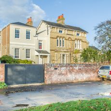
Hill House
4.5 km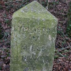
Milestone 150 Metres North Of Tile Barn Farmhouse, On Opposite Side Of Road
3.8 km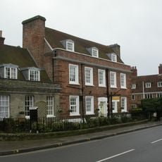
Monmouth House (including The Former Office Of The Clerk To The Justices)
4.8 km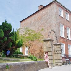
Ivy House No 63 And Area Railings Twynham House
4.8 km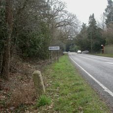
Milestone 150 Metres North Of Junction With Rope Hill
2.8 km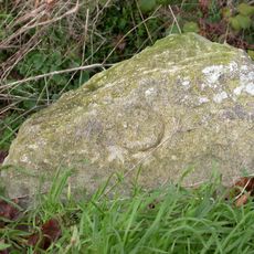
Milestone, by 'Alwyne' Farmers Walk, Everton Village. On the old Christchurch Road, main road is by-pass
4.2 km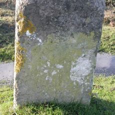
Milestone, Durns Town; 100m N of forest boundary (cattle grid) and 50m S of railway bridge
753 m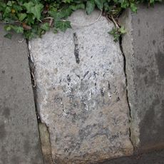
Milestone, Pennington
4.8 km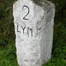
Milestone, Efford Horticultural Research
4.6 km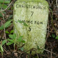
Milestone, Lymington Road, Hooper's Hill
4.5 km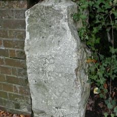
Milestone, Buckland Rings
3.6 kmVisited this place? Tap the stars to rate it and share your experience / photos with the community! Try now! You can cancel it anytime.
Discover hidden gems everywhere you go!
From secret cafés to breathtaking viewpoints, skip the crowded tourist spots and find places that match your style. Our app makes it easy with voice search, smart filtering, route optimization, and insider tips from travelers worldwide. Download now for the complete mobile experience.

A unique approach to discovering new places❞
— Le Figaro
All the places worth exploring❞
— France Info
A tailor-made excursion in just a few clicks❞
— 20 Minutes