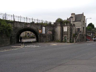
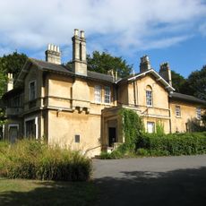
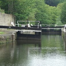
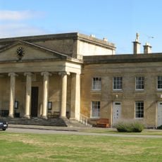
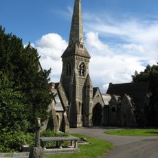
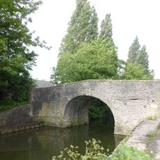
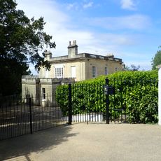
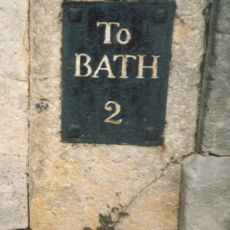
Twerton, suburb and electoral ward in Bath, Somerset, United Kingdom
Location: Bath and North East Somerset
Part of: Bath
GPS coordinates: 51.38100,-2.39800
Latest update: June 14, 2025 20:59
Twerton Park
326 m
Fairfield House
1 km
Weston Lock
202 m
Partis College, Bath
972 m
Church of St Michael and All Angels
12 m
Twerton Bridge
1.2 km
St John the Evangelist
1.2 km
Fielding's Road footbridge
666 m
Church of England Chapel In St Michael's Cemetery
1.2 km
New Bridge
1.3 km
Brook Road Bridge
1.2 km
Windsor Bridge
1.2 km
Locksbrook Railway Bridge
1.1 km
Emmanuel Church
637 m
Bellotts Road Bridge
926 m
The Herman Miller Factory
733 m
The Weston Public House
883 m
Twin chapels, Locksbrook Cemetery
962 m
Locksbrook Bridge
318 m
Former Cabinet Makers Factory
755 m
Cross of Sacrifice, Locksbrook Cemetery
943 m
Newbridge House
1.1 km
Milestone outside No 2 Fairfield
1 km
Bath Blitz Memorial, Somerset
1 km
Windsor Footbridge
1.2 km
Twerton Wood Tunnel West Portal
827 m
Newbridge Railway Bridge
918 m
Milestone, Newbridge, by No. 200, Upper Bristol Road
782 mVisited this place? Tap the stars to rate it and share your experience / photos with the community! Try now! You can cancel it anytime.
Discover hidden gems everywhere you go!
From secret cafés to breathtaking viewpoints, skip the crowded tourist spots and find places that match your style. Our app makes it easy with voice search, smart filtering, route optimization, and insider tips from travelers worldwide. Download now for the complete mobile experience.
A unique approach to discovering new places❞
— Le Figaro
All the places worth exploring❞
— France Info
A tailor-made excursion in just a few clicks❞
— 20 Minutes