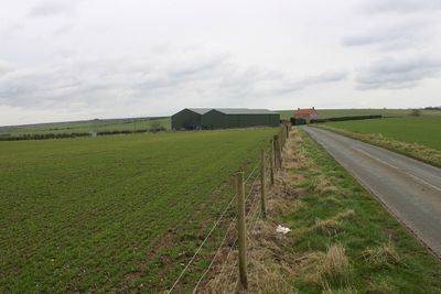
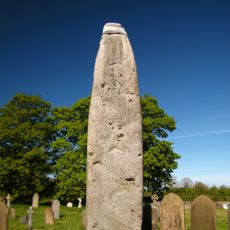
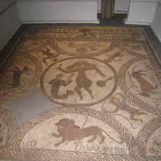
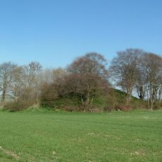
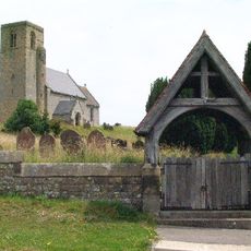
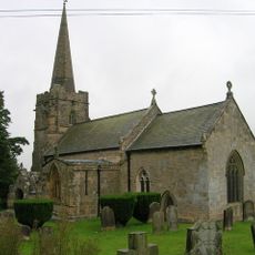
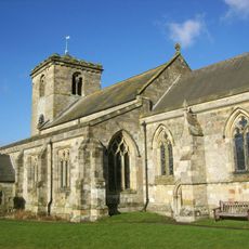
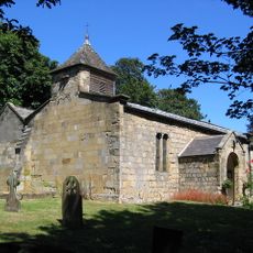
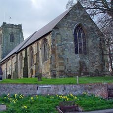
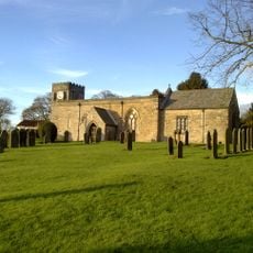
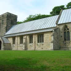
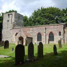
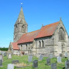
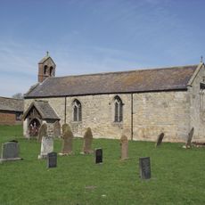
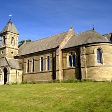
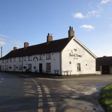
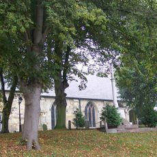
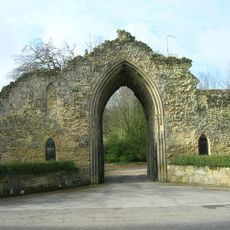
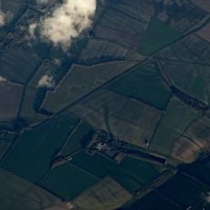
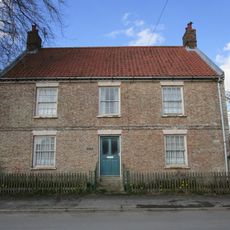
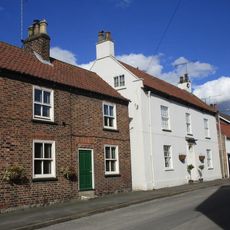
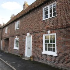
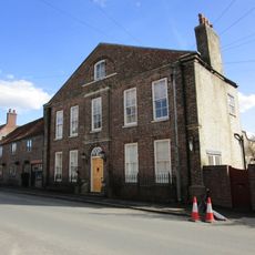
Thwing, village and civil parish in the northern Yorkshire Wolds in the East Riding of Yorkshire, England
Location: East Riding of Yorkshire
GPS coordinates: 54.11610,-0.39562
Latest update: May 6, 2025 05:36
Rudston Monolith
5.4 km
Danes Graves
7.5 km
Rudston Roman villa
5.3 km
Willy Howe
2.5 km
Binnington Carr Hoard
9.7 km
Church of St Andrew
8.3 km
Church of St Nicholas
9.6 km
Church of All Saints
5.4 km
Church of All Saints
3.1 km
Church of All Saints
5.9 km
Church of All Saints
126 m
Church of Saint Peter
5.2 km
Church of St Cuthbert
4.1 km
Church of St Peter
9.7 km
Church of St James
5 km
Church of St Nicholas
6 km
Church of St Mary
5 km
The Anvil Arms Public House And Cottage Adjoining To Left
2.9 km
Rudston War Memorial
5.4 km
Kilham War Memorial
5.9 km
Lodge And Gateway To Hunmanby Hall
8.3 km
Swaythorpe medieval settlement
1.6 km
High Farmhouse
5.8 km
Eastgate House
5.9 km
Milestone
8.4 km
Milestone Approximately 200 Metres South Of Willerby Grange
9.7 km
Rutland House
5.9 km
Hall Farmhouse
5.9 kmVisited this place? Tap the stars to rate it and share your experience / photos with the community! Try now! You can cancel it anytime.
Discover hidden gems everywhere you go!
From secret cafés to breathtaking viewpoints, skip the crowded tourist spots and find places that match your style. Our app makes it easy with voice search, smart filtering, route optimization, and insider tips from travelers worldwide. Download now for the complete mobile experience.
A unique approach to discovering new places❞
— Le Figaro
All the places worth exploring❞
— France Info
A tailor-made excursion in just a few clicks❞
— 20 Minutes