
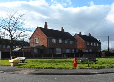
Wardle, village and civil parish in Cheshire East, United Kingdom
Location: Cheshire East
Shares border with: Haughton, Stoke
GPS coordinates: 53.11000,-2.58300
Latest update: March 2, 2025 19:54
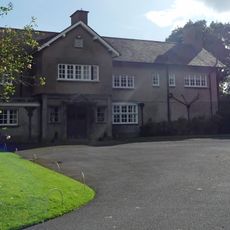
Haughton Hall
2.4 km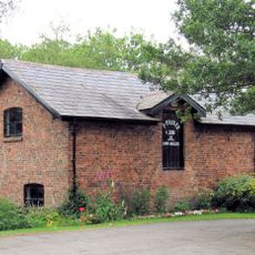
Bunbury Mill
3.9 km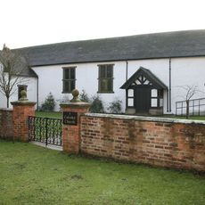
Calveley Church
2.2 km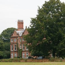
Stoke Hall
1.3 km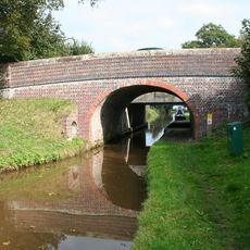
Hurleston Bridge Number 1
2.3 km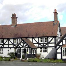
The Nag's Head
3.2 km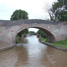
Bremilows Bridge Number 100
768 m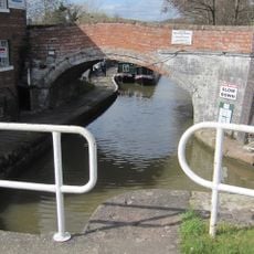
Shropshire Union Canal Bunbury Bridge
3.8 km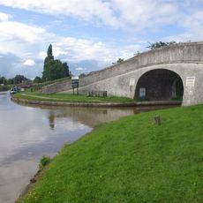
Roving Bridge
268 m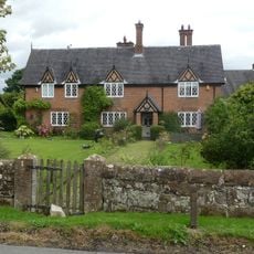
Oak Farmhouse
3.2 km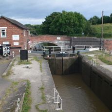
Bunbury Locks, Bridge and Stables
3.8 km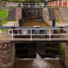
Shropshire Union Canal Bunbury Locks
3.8 km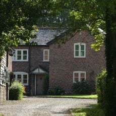
Woodworth Green Farmhouse
3.2 km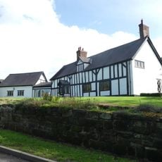
Brook Farmhouse
3.8 km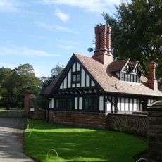
Lodge west of Haughton Hall
2.6 km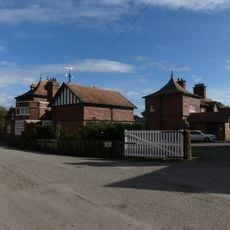
Range of outbuildings east of Haughton Hall
2.4 km
Barn north of Woodworth Green Farmhouse
3.2 km
Farm building 40 metres north of Bache House Farmhouse
2.2 km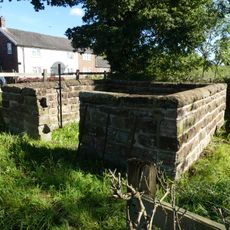
Wardle Pinfold
122 m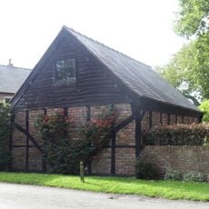
Barn north of Haughton Thorn
3.3 km
Middlewich Branch Canal Canal House, Barbridge Junction at SJ 613 569
303 m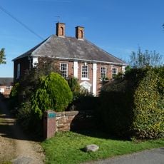
Wardle Old Hall
113 m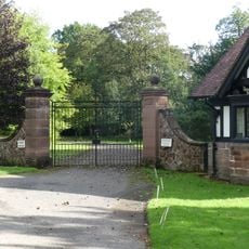
Gates and piers west of Haughton Hall
2.6 km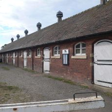
Shropshire Union Canal stable block at Bunbury Locks
3.8 km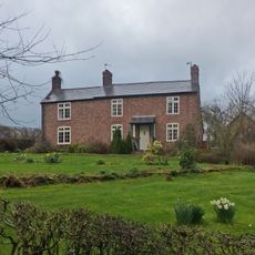
Bunbury Millhouse
3.9 km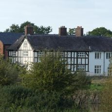
Bache House Farmhouse
2.3 km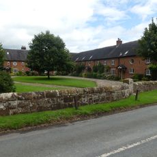
Range of farm buldings east of Oak Farmhouse
3.2 km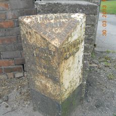
Milepost, Wardle
189 mVisited this place? Tap the stars to rate it and share your experience / photos with the community! Try now! You can cancel it anytime.
Discover hidden gems everywhere you go!
From secret cafés to breathtaking viewpoints, skip the crowded tourist spots and find places that match your style. Our app makes it easy with voice search, smart filtering, route optimization, and insider tips from travelers worldwide. Download now for the complete mobile experience.

A unique approach to discovering new places❞
— Le Figaro
All the places worth exploring❞
— France Info
A tailor-made excursion in just a few clicks❞
— 20 Minutes