
Wainfleet St Mary, village in United Kingdom
Location: East Lindsey
Shares border with: Burgh Le Marsh
GPS coordinates: 53.10930,0.19321
Latest update: March 20, 2025 07:28
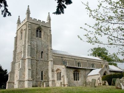
Church of St Andrew
3.8 km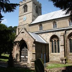
Church of All Saints
3.8 km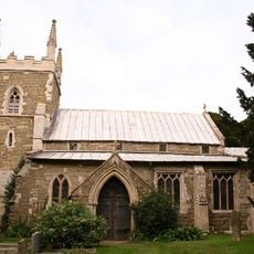
Church of St Peter
2.2 km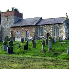
Church of All Saints
4.6 km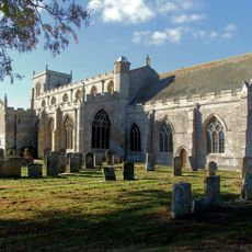
Church of St Mary and St Nicholas
9.4 km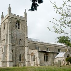
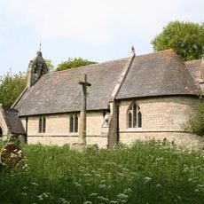
Church of St Mary
515 m
Church of All Saints
2.8 km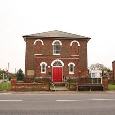
Methodist Church
8.7 km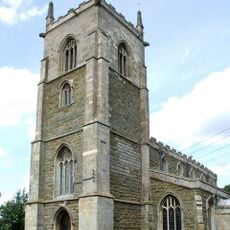
Church of All Saints
4.8 km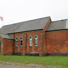
St. Michael's, Wainfleet St. Mary Community Hall
3.1 km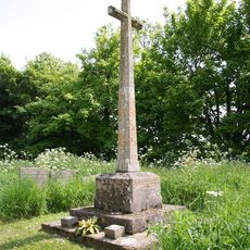
War Memorial 5 Metres South of the Church of St Andrew
3.7 km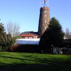
Salem Bridge Windmill With Attached Mill Building
2.7 km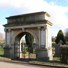
War Memorial Cemetery Gateway
3 km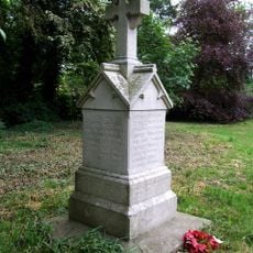
Thorpe St Peter War Memorial
2.2 km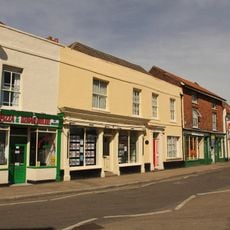
No 36 And Anglia Building Society
2.9 km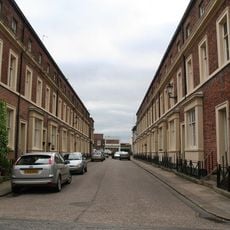
14-22, Barkham Street
2.9 km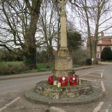
Wrangle War Memorial
9.4 km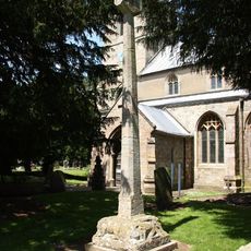
Churchyard cross, All Saints churchyard
3.9 km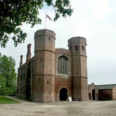
Magdalen College School, Now Library
3 km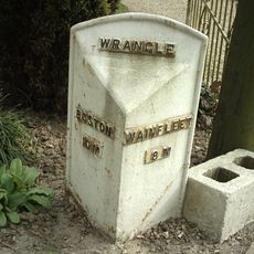
Mile Post, North Of Gypsy Lane
8.5 km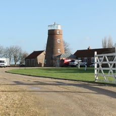
Wrangle Mill
8.6 km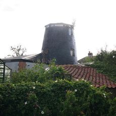
Hoyle's Windmill
2.6 km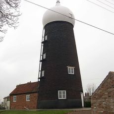
Toft Mill
8 km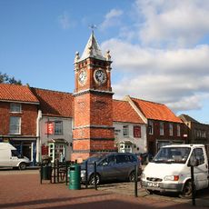
Clock Tower
2.9 km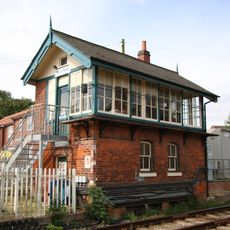
Wainfleet Signal Box
2.8 km
Abbey Hills moated site
4.7 km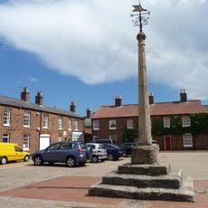
Wainfleet All Saints market cross
2.9 km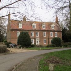
Old Vicarage
9.3 kmVisited this place? Tap the stars to rate it and share your experience / photos with the community! Try now! You can cancel it anytime.
Discover hidden gems everywhere you go!
From secret cafés to breathtaking viewpoints, skip the crowded tourist spots and find places that match your style. Our app makes it easy with voice search, smart filtering, route optimization, and insider tips from travelers worldwide. Download now for the complete mobile experience.

A unique approach to discovering new places❞
— Le Figaro
All the places worth exploring❞
— France Info
A tailor-made excursion in just a few clicks❞
— 20 Minutes