
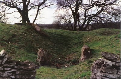
Windmill Tump, archaeological site in Rodmarton, Gloucestershire, UK
Location: Rodmarton
Operator: English Heritage
Website: https://english-heritage.org.uk/visit/places/windmill-tump-long-barrow-rodmarton
GPS coordinates: 51.67440,-2.09890
Latest update: March 19, 2025 17:50

Rodmarton Manor
1.1 km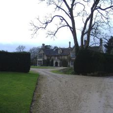
Trull House
1.1 km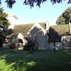
Church of St James
2.6 km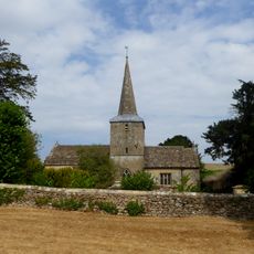
Church of St Peter
1.3 km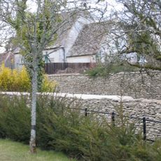
Tarlton Church
3.6 km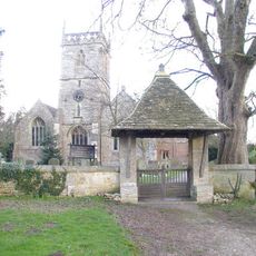
Church of All Saints
5 km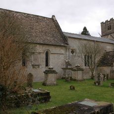
Church of St Nicholas
3.2 km
The Plough Inn
4.9 km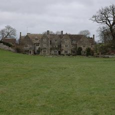
Hazleton Manor Farmhouse
1.1 km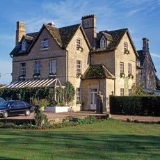
Crudwell Court
4.9 km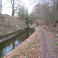
Tarlton Bridge
4.6 km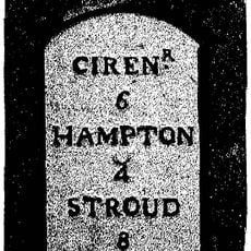
Milestone
4.5 km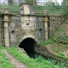
Sapperton Canal Tunnel
4.7 km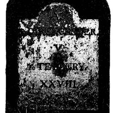
Milestone
2.6 km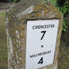
Milestone At Ngr 959925
4.9 km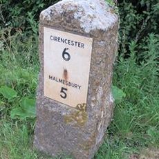
Milestone At Ngr 964941
4 km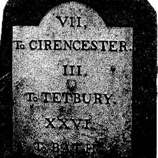
Milestone
1 km
Lychgate to the South West of Church of All Saints
5 km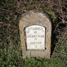
Milestone
5.3 km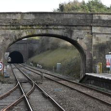
Railway Bridge Approximately 110M South Of Kemble Station
5.3 km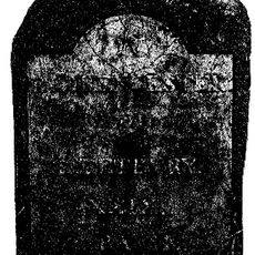
Milestone
4.1 km
Milestone At Ngr 969955
3.5 km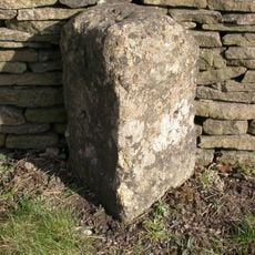
Milestone, S of Hampton Fields; N edge golf course
5.1 km
Milestone, Tetbury Hill, S village
5.1 km
Milestone, opp. cottages 40yds W of Rodmarton turning.
1.2 km
Milestone, 150yds E of Trouble House Inn, standing against drystone wall.
2.6 km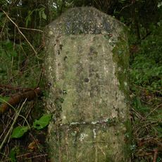
Milestone, Jackament's Bottom; 50m N farm entrance
3.5 km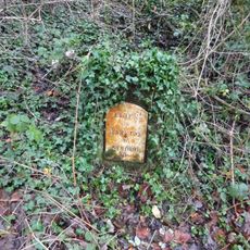
Milestone, nearly opp. joining track, nr railway cutting to tunnel
4.8 kmReviews
Visited this place? Tap the stars to rate it and share your experience / photos with the community! Try now! You can cancel it anytime.
Discover hidden gems everywhere you go!
From secret cafés to breathtaking viewpoints, skip the crowded tourist spots and find places that match your style. Our app makes it easy with voice search, smart filtering, route optimization, and insider tips from travelers worldwide. Download now for the complete mobile experience.

A unique approach to discovering new places❞
— Le Figaro
All the places worth exploring❞
— France Info
A tailor-made excursion in just a few clicks❞
— 20 Minutes