
Maidwell, village and civil parish in Northamptonshire, UK
Location: West Northamptonshire
GPS coordinates: 52.38150,-0.90690
Latest update: March 9, 2025 10:51

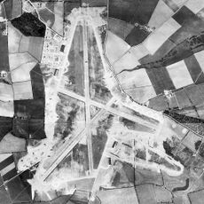
RAF Harrington
3.3 km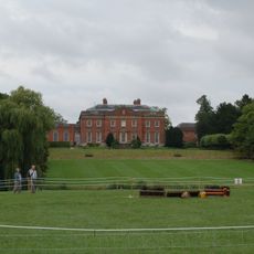
Kelmarsh Hall
3.2 km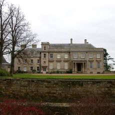
Lamport Hall
2.4 km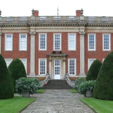
Cottesbrooke Hall
4.2 km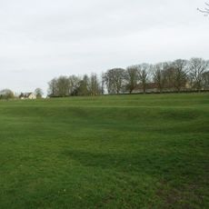
Arthingworth Manor
5.2 km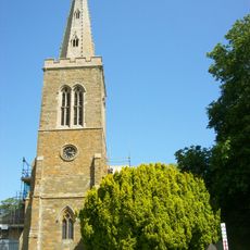
Church of All Saints
5.8 km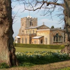
Church of All Saints, Lamport
2.3 km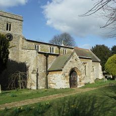
St Catherine's Church, Draughton
1.7 km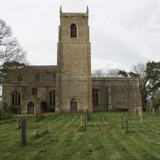
Church of St Peter and Paul
5.3 km
Church of St Andrew, Arthingworth
5 km
Cromwell Cottage
5.8 km
Church of St Mary the Virgin
597 m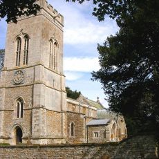
Church of St Michael
3.4 km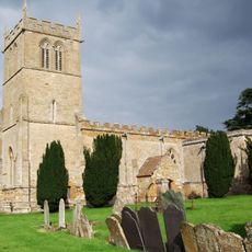
Church of All Saints, Cottesbrooke
4.6 km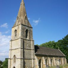
Church of St Denys
2.9 km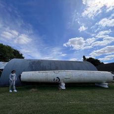
Harrington Aviation Museum
3.4 km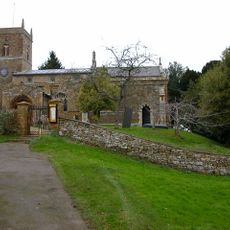
Church of St Peter and St Paul
4.6 km
Church of All Saints
5.9 km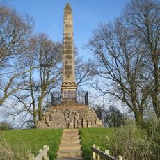
Monument At National Grid Reference Sp 6937 7842
5.5 km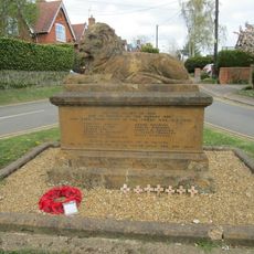
Naseby War Memorial
5.9 km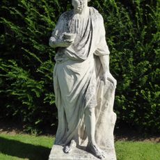
Cottesbrooke Hall, Statue Of Socrates Approximately 44 Metres South West
4.3 km
Prince Ruperts Cottage
5.9 km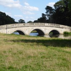
Cottesbrooke Hall, Bridge Approximately 300 Metres South East
4.3 km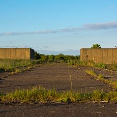
Thor Missile Site At Former Raf Harrington Including The Pyrotechnic Store And Classified Storage Building To The West Of The Three Emplacements.
3.3 km
Fern Cottage
5.9 km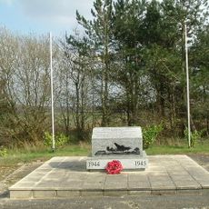
801st & 492nd Bombardment Group 'The Carpetbaggers' Memorial, Harrington
3.5 km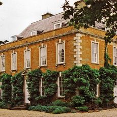
The Old Rectory
2.3 km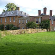
The Old Rectory
4.6 kmVisited this place? Tap the stars to rate it and share your experience / photos with the community! Try now! You can cancel it anytime.
Discover hidden gems everywhere you go!
From secret cafés to breathtaking viewpoints, skip the crowded tourist spots and find places that match your style. Our app makes it easy with voice search, smart filtering, route optimization, and insider tips from travelers worldwide. Download now for the complete mobile experience.

A unique approach to discovering new places❞
— Le Figaro
All the places worth exploring❞
— France Info
A tailor-made excursion in just a few clicks❞
— 20 Minutes