
Twyning, village and civil parish in Gloucestershire, United Kingdom
Location: Borough of Tewkesbury
GPS coordinates: 52.03060,-2.14722
Latest update: March 9, 2025 05:14

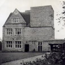
The Mythe
3.1 km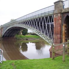
Mythe Bridge
3.4 km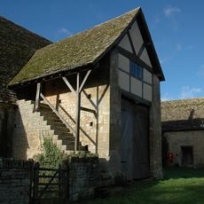
Bredon Barn
1.8 km
Mythe Railway Nature Reserve
3 km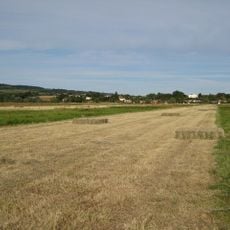
Upham Meadow and Summer Leasow
1.9 km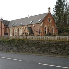
Mythe Chapel
3.2 km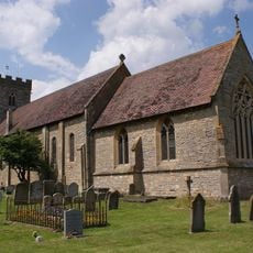
Church of St Mary Magdalene
1 km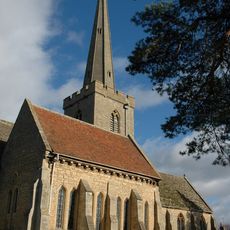
Church of St Giles
2 km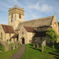
Church of St Mary, Ripple
2.5 km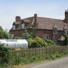
Church End
3.5 km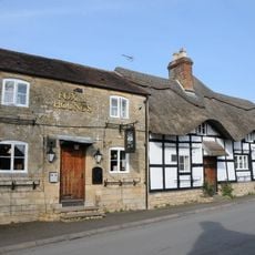
Fox and Hounds Inn
2.1 km
Brockeridge Farm
863 m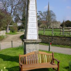
Obelisk
2 km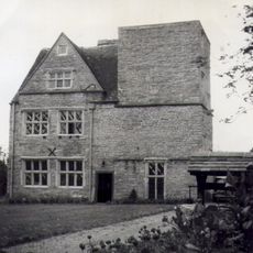
King John's Castle
3 km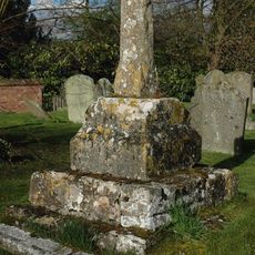
Ripple churchyard cross
2.5 km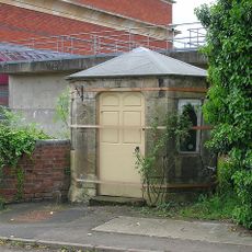
Turnpike Shelter At East End Of Mythe Bridge
3.4 km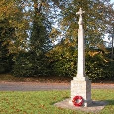
Strensham War Memorial
2.5 km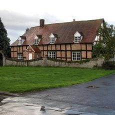
School Farmhouse
192 m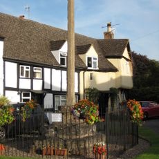
Ripple village cross
2.6 km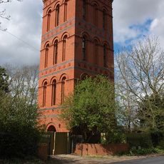
Water Tower, With Boundary Railings And Gates
2.7 km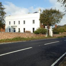
Shuthonger House
2 km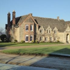
Rectory
2 km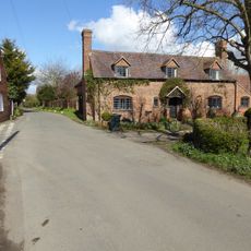
Shepherds Peace
3.6 km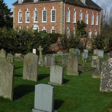
The Old Rectory
2.5 km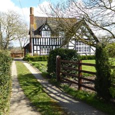
The Old School
3.5 km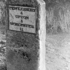
Milestone
2.5 km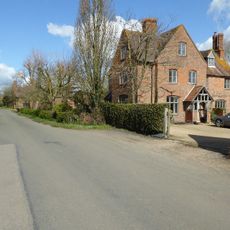
Double Gate Farmhouse
3.6 km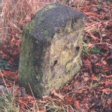
Milestone, The Mythe; opp. N edge of Garden Centre & footpath
3 kmVisited this place? Tap the stars to rate it and share your experience / photos with the community! Try now! You can cancel it anytime.
Discover hidden gems everywhere you go!
From secret cafés to breathtaking viewpoints, skip the crowded tourist spots and find places that match your style. Our app makes it easy with voice search, smart filtering, route optimization, and insider tips from travelers worldwide. Download now for the complete mobile experience.

A unique approach to discovering new places❞
— Le Figaro
All the places worth exploring❞
— France Info
A tailor-made excursion in just a few clicks❞
— 20 Minutes