
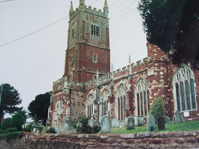
Church of All Saints, Grade I listed church in Kenton, Devon, United Kingdom
Location: Kenton
Inception: 1360
GPS coordinates: 50.64010,-3.47500
Latest update: March 5, 2025 13:57
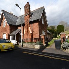
House In West Corner Of The Churchyard
56 m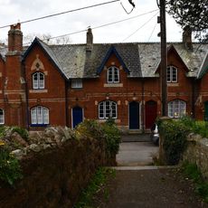
1-9, Church Street
34 m
Peacock Cottage
372 m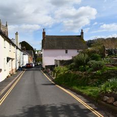
South View Cottage
100 m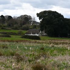
Woodpecker Cottage
374 m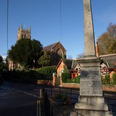
Kenton War Memorial
65 m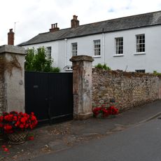
Middle Court And Court Hall
61 m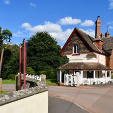
Lodge About 600 Metres SW of Powderham Castle
669 m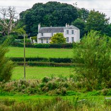
High House
338 m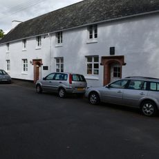
Kenton School
69 m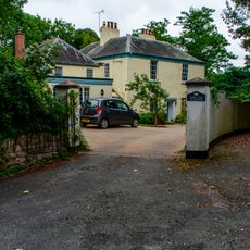
The Old Vicarage
100 m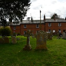
16-21, High Street
59 m
Kitchen Garden Walls Including Glasshouses Wnw Of Powderham Castle
776 m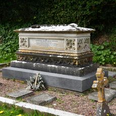
Studd Chest Tomb In North-East Corner Of The Churchyard Of The Church Of All Saints
43 m
Marsh Farm
780 m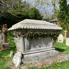
Furse Chest Tomb About 18 Metres North Of The Vestry Door Of The Church Of All Saints
30 m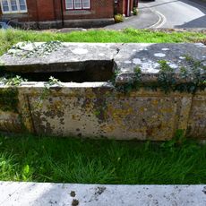
Chest Tomb About 8 Metres South East Of The Porch Of The Church Of All Saints
13 m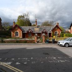
The Almshouses Including Garden Wall And Gate Piers In Front
47 m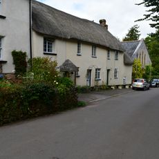
3 Cottages Immediately North Of Ford Farmhouse
168 m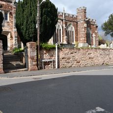
Churchyard Walls Including A Pair Of Gates To The South And A Pair To The North West Of The Church Of All Saints
17 m
Penhayes
513 m
Hanningfields, Little Warborough And South Warborough House
664 m
Ford Farmhouse
189 m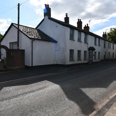
The Old Estate Office
731 m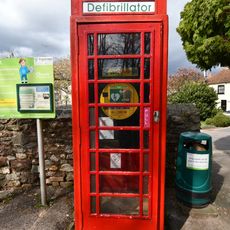
K6 Telephone Kiosk
78 m
Leslie House
638 m
Trelawn
386 m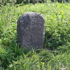
Milestone, Exeter Hill, 50m N of minor road to Smithy
693 mReviews
Visited this place? Tap the stars to rate it and share your experience / photos with the community! Try now! You can cancel it anytime.
Discover hidden gems everywhere you go!
From secret cafés to breathtaking viewpoints, skip the crowded tourist spots and find places that match your style. Our app makes it easy with voice search, smart filtering, route optimization, and insider tips from travelers worldwide. Download now for the complete mobile experience.

A unique approach to discovering new places❞
— Le Figaro
All the places worth exploring❞
— France Info
A tailor-made excursion in just a few clicks❞
— 20 Minutes