
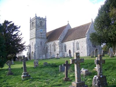
Church of All Saints, Grade I listed church in Gussage All Saints, Dorset, United Kingdom
Location: Gussage All Saints
Inception: 14 century
GPS coordinates: 50.89690,-2.00358
Latest update: March 9, 2025 08:41
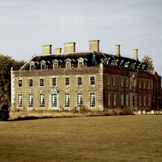
St Giles House, Wimborne St Giles
3.5 km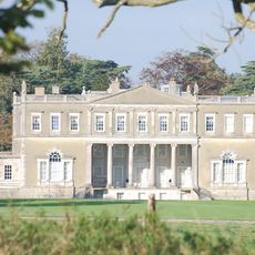
Crichel House
3.3 km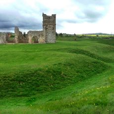
Knowlton Circles
2.6 km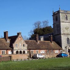
Church of St Giles, Wimborne St Giles
3.5 km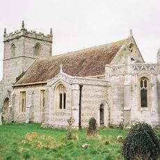
St Mary's Church, Long Crichel
2.2 km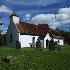
Church of All Saints
4.5 km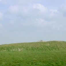
Two long barrows on Gussage Hill
2.9 km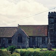
Church of St Mary, St Cuthberga And All Saints
4.5 km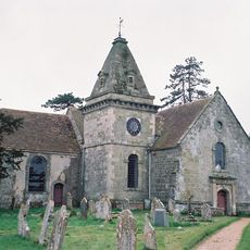
Church of St Wolfrida
4.6 km
Church of St Andrew
4.1 km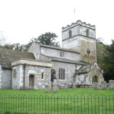
Church of St Michael
1.4 km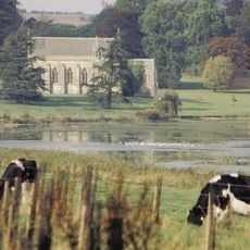
Church of St Mary
2.6 km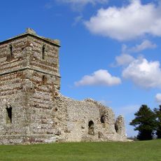
Ruins of Knowlton Church
2.6 km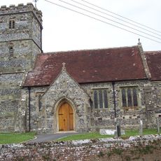
Church of St John the Evangelist
4.9 km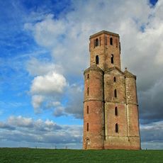
Horton Tower
5.2 km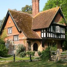
Didlington Lodge
3.6 km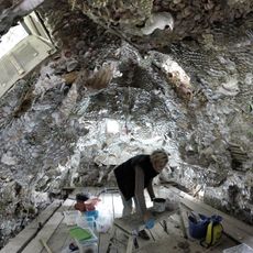
Grotto 250 Metres South East Of St Giles House
3.6 km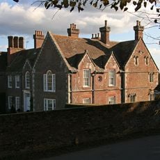
Abbey House
4.5 km
Milestone
3.8 km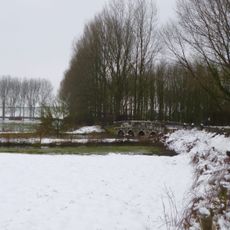
Stanbridge Bridge
2.5 km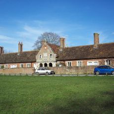
Almshouses Including Front Wall
3.5 km
Packhorse Bridge Approximately 35M South Of Ryall's Farmhouse.
2.5 km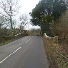
Witchampton Bridge
4.7 km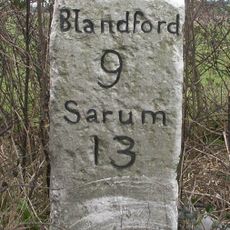
Milestone
4.4 km
Milestone, SE of Chettle on main road; opp. Plantation farm
4.4 km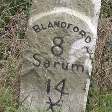
Milestone, 400m SW of entrance road to Chapel Down farm, NE of Cashmoor
3.7 km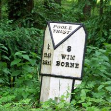
Milepost, 150M S of road to Edmonsham;
4.4 km
Milepost, 400m N of The Horton inn
2.8 kmReviews
Visited this place? Tap the stars to rate it and share your experience / photos with the community! Try now! You can cancel it anytime.
Discover hidden gems everywhere you go!
From secret cafés to breathtaking viewpoints, skip the crowded tourist spots and find places that match your style. Our app makes it easy with voice search, smart filtering, route optimization, and insider tips from travelers worldwide. Download now for the complete mobile experience.

A unique approach to discovering new places❞
— Le Figaro
All the places worth exploring❞
— France Info
A tailor-made excursion in just a few clicks❞
— 20 Minutes