
The Almshouses, almshouse in Worminghall, Buckinghamshire, England, UK
Location: Aylesbury Vale
Location: Worminghall
GPS coordinates: 51.77090,-1.07217
Latest update: March 9, 2025 20:04
Rycote House
4.5 km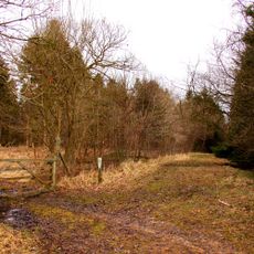
Shabbington Woods Complex
3.7 km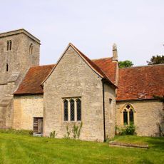
Church of St Bartholomew, Holton
4.1 km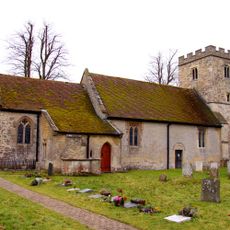
Church of St Peter and St Paul
421 m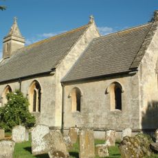
Church of St Helen
3.6 km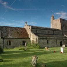
Church of St Mary
3.9 km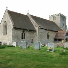
Parish Church of St Mary Magdalene
3.1 km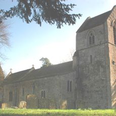
Parish Church of St Nicholas
1.2 km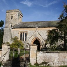
Church of St Leonard, Waterstock
2.9 km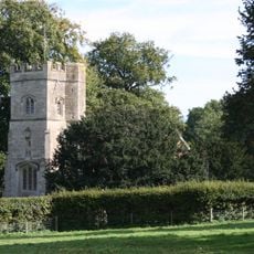
Rycote Chapel
4.6 km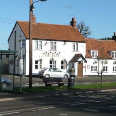
The Fox Inn
3.4 km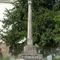
Church of St Mary, Churchyard Cross Approximately 10 Metres To South
2.4 km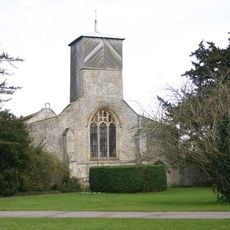
Church of St Mary
2.4 km
Waterperry House, Bow Bridge Approximately 750 Metres To South (That Part In The Parish Of Waterperry)
3 km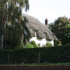
Choseley Cottage
3.8 km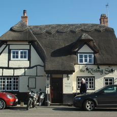
The Rising Sun Public House
1.2 km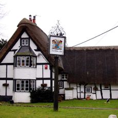
Clifden Arms
370 m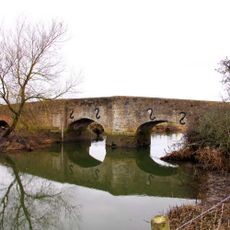
Ickford Bridge
2.1 km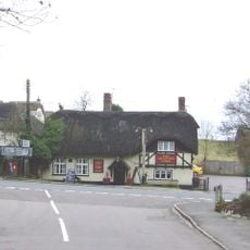
Chandos Arms Public House
4.8 km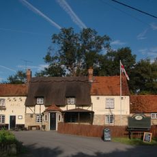
The Chandos Arms
3.8 km
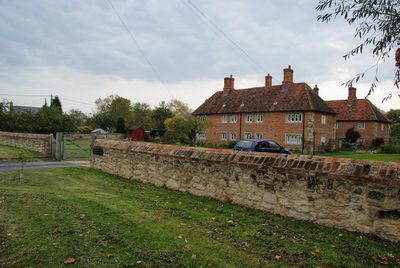
Waterperry House And Attached Wall
2.5 km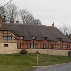
Number 66 and Garden Wall of 30 Metres Running North
4.7 km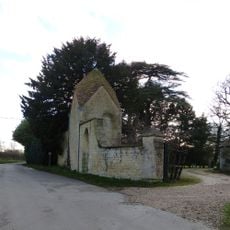
Waterstock House, Pump House With Attached Wall And Gatepier
2.8 km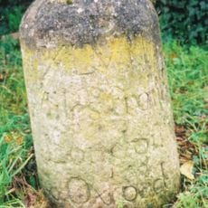
Milestone Approximately 60 Metres East Of The Avenue
4.6 km
Milepost, Woodway Farm, 10m to right of entrance
4.3 km
Milepost, Hornage Farm
3.8 km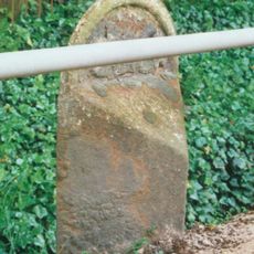
Milepost, Thame Road; opp. Oakley Church
3.9 km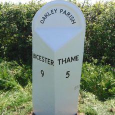
Milepost, just N of Little Green, Leatherslade Farm (500m)
3.7 kmReviews
Visited this place? Tap the stars to rate it and share your experience / photos with the community! Try now! You can cancel it anytime.
Discover hidden gems everywhere you go!
From secret cafés to breathtaking viewpoints, skip the crowded tourist spots and find places that match your style. Our app makes it easy with voice search, smart filtering, route optimization, and insider tips from travelers worldwide. Download now for the complete mobile experience.

A unique approach to discovering new places❞
— Le Figaro
All the places worth exploring❞
— France Info
A tailor-made excursion in just a few clicks❞
— 20 Minutes