
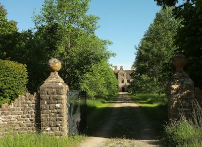
Manor House, historic building in Holwell, West Dorset, England, United Kingdom
Location: West Dorset
Location: Holwell
GPS coordinates: 50.89230,-2.44321
Latest update: March 9, 2025 09:11
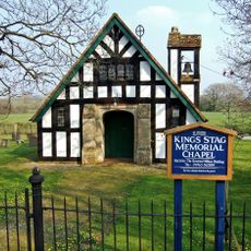
King's Stag Memorial Chapel
3.7 km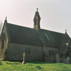
Parish Church of Sts Peter and Paul
3.1 km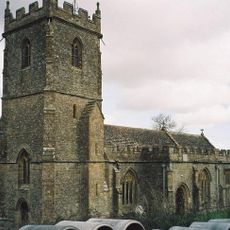
Church of St Lawrence
1.9 km
Parish Church of St Lawrence
4.1 km
Parish Church of St Thomas A Becket
2.9 km
Church of St Peter and St Paul
2.8 km
Parish Church of St Mary
2.4 km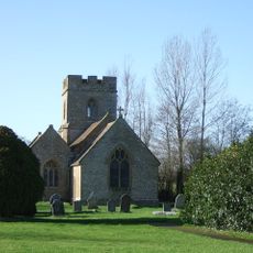
Church of the Assumption of the Blessed Virgin Mary
3.4 km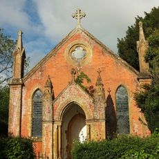
Roman Catholic Church
3.7 km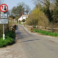
Cornford Bridge
1.7 km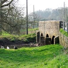
Kingstag Bridge
3.8 km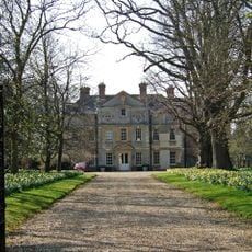
Buckshaw House
948 m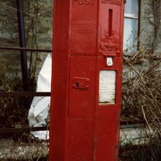
Pillar Box At Barnes Cross At St 693 118
1.4 km
Folke Manor
4.2 km
Manor Farmhouse
3.1 km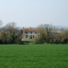
Round Chimneys Farmhouse
1.2 km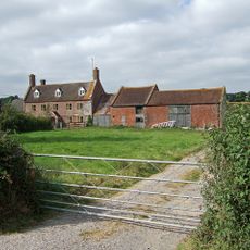
Elm Tree Farmhouse And Outbuildings Attached To The East
2 km
Holwell Farmhouse
1.8 km
Ryall's Farmhouse
2.5 km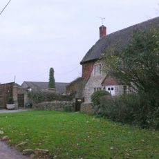
Poll Bridge Farmhouse
2.2 km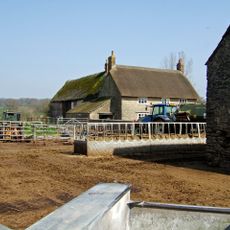
Woodbridge Farmhouse
3 km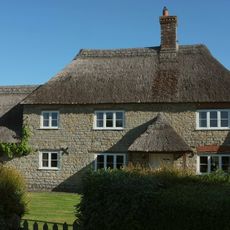
Church Hill Farmhouse
1.2 km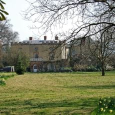
The Old Rectory
3 km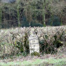
Milestone, between Middlemarsh and B3146 jct.
3.4 km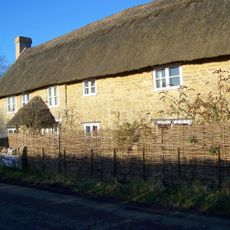
No 504 (Includes No 505)
2.2 km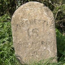
Milestone, by entrance to Vetinary clinic
3.7 km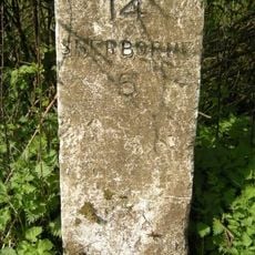
Milestone, entrance to Dunn's Farm 150m S of church.
3.3 km
Milestone, near jct with the 'Old Sherborne Road' at Middlemarsh; opp. small road that joins old and new roads.
3.9 kmVisited this place? Tap the stars to rate it and share your experience / photos with the community! Try now! You can cancel it anytime.
Discover hidden gems everywhere you go!
From secret cafés to breathtaking viewpoints, skip the crowded tourist spots and find places that match your style. Our app makes it easy with voice search, smart filtering, route optimization, and insider tips from travelers worldwide. Download now for the complete mobile experience.

A unique approach to discovering new places❞
— Le Figaro
All the places worth exploring❞
— France Info
A tailor-made excursion in just a few clicks❞
— 20 Minutes