
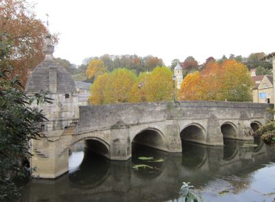
Barton Bridge, bridge in United Kingdom
Location: Bradford-on-Avon
GPS coordinates: 51.34370,-2.25595
Latest update: September 23, 2025 16:46
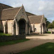
Saxon Tithe Barn
121 m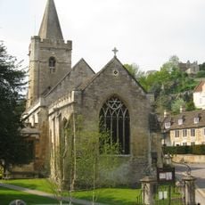
Holy Trinity Church, Bradford-on-Avon
363 m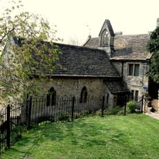
St Mary's Chapel And Attached Cottage (Sometimes Known As The Hermitage)
357 m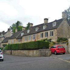
10, Church Street
369 m
The Three Horseshoes Public House
330 m
Bradford on Avon Rowing Club War Memorial
86 m
Vicarage
303 m
14, St Margaret's Street
368 m
K6 Telephone Kiosk
308 m
Men's Almhouses Walled Forecourt With Gateway To Nos 1 To 4
347 m
5, Newtown
322 m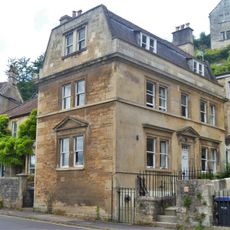
33, Newtown
361 m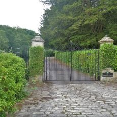
Gatepiers At East End Of Drive To No 7 (Vicarage)
392 m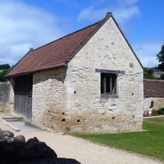
Outbuilding Immediately To North West Of Tithe Barn At Barton Farm
83 m
Well Close House
241 m
38, Newtown
376 m
The Granary At Barton Farm
109 m
27-31, Newtown
333 m
17 And 18, Newtown
236 m
Grey Gables
240 m
36, St Margaret's Street
353 m
10 and 10B, Newtown
227 m
14 And 16, Newtown
237 m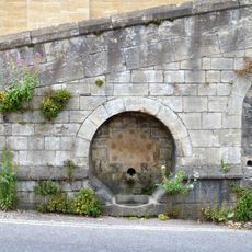
Ramped Path To Right At South End Of Well Path Wall In Front Of Builder's Yard
303 m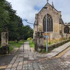
Churchyard Gatepiers And Gates To East Of Holy Trinity Church
394 m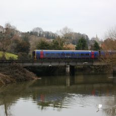
Bradford Viaduct
90 m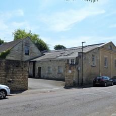
Old Gas Works, Buildings Surrounding The Yard To South (Now Used As The Bradford On Avon Ud Council Depot
353 m
Chetwynd
388 mReviews
Visited this place? Tap the stars to rate it and share your experience / photos with the community! Try now! You can cancel it anytime.
Discover hidden gems everywhere you go!
From secret cafés to breathtaking viewpoints, skip the crowded tourist spots and find places that match your style. Our app makes it easy with voice search, smart filtering, route optimization, and insider tips from travelers worldwide. Download now for the complete mobile experience.

A unique approach to discovering new places❞
— Le Figaro
All the places worth exploring❞
— France Info
A tailor-made excursion in just a few clicks❞
— 20 Minutes