
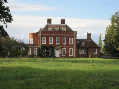
Tetworth Hall, listed building in Cambridgeshire, UK
Location: Waresley-cum-Tetworth
GPS coordinates: 52.16230,-0.22129
Latest update: March 3, 2025 02:18
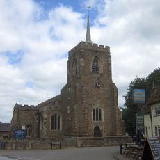
Church of St Mary the Virgin
2.5 km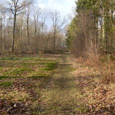
Gamlingay Wood
2.4 km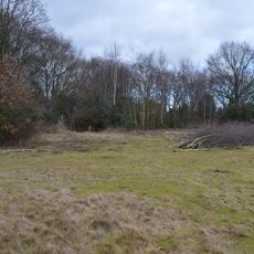
Gamlingay Cinques Common
851 m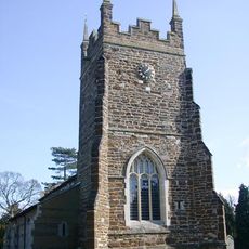
Church of St Mary, Everton, Bedfordshire
2.3 km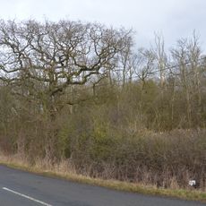
Weaveley and Sand Woods
1.3 km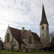
Church of St James the Great
3.5 km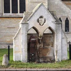
Village pump and drinking fountain
3.5 km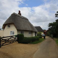
41, Church End
2.3 km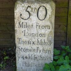
Milestone, Outside Park Farmhouse
1 km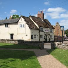
The Wheatsheaf Public House
2.4 km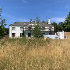
Waresley Hall
3.3 km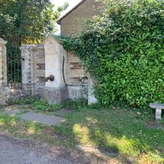
Village Pump About 10 Yards From Entry To Waresley Hall
3.5 km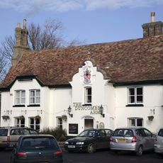
Duncombe Arms Public House
3.6 km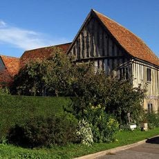
The Emplins
2.5 km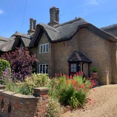
1 and 3, Gamlingay Road
3.6 km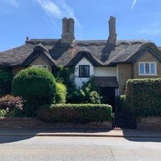
9, 11 And 13, Gamlingay Road
3.5 km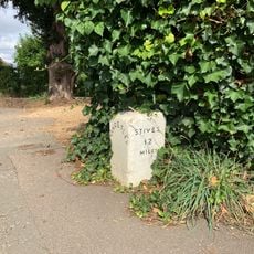
Milestone About 10 Yards West Of Duncombe Arms
3.5 km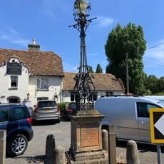
Lamp Standard 20 Yards South Of Duncombe Arms Public House
3.6 km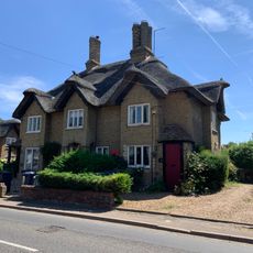
5 And 7, Gamlingay Road
3.5 km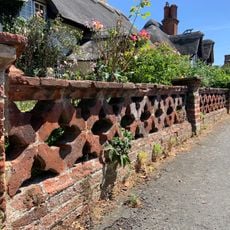
Garden Wall To Numbers 1,3,5,7,11,13,15,17 And 19
3.6 km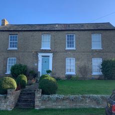
Grange Farmhouse
3.6 km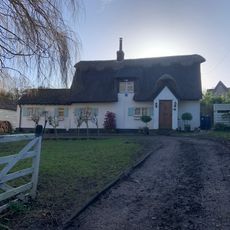
9, Blacksmiths Lane
3.6 km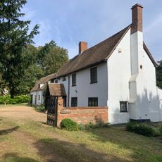
Church Farmhouse
3.6 km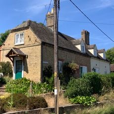
1 and 2, the Bank
3.5 km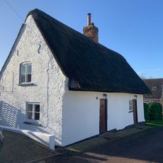
6 And 8, Hardwick Lane
3.6 km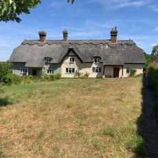
5 And 6, The Square
3.5 km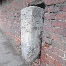
Milestone In Garden Wall To Number 34
2.2 km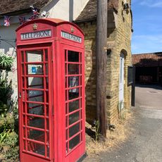
K6 Telephone Box
3.6 kmReviews
Visited this place? Tap the stars to rate it and share your experience / photos with the community! Try now! You can cancel it anytime.
Discover hidden gems everywhere you go!
From secret cafés to breathtaking viewpoints, skip the crowded tourist spots and find places that match your style. Our app makes it easy with voice search, smart filtering, route optimization, and insider tips from travelers worldwide. Download now for the complete mobile experience.

A unique approach to discovering new places❞
— Le Figaro
All the places worth exploring❞
— France Info
A tailor-made excursion in just a few clicks❞
— 20 Minutes