
Church of All Saints, church in Rotherfield Peppard, Oxfordshire, United Kingdom
Location: Rotherfield Peppard
GPS coordinates: 51.52800,-0.97261
Latest update: March 12, 2025 17:01

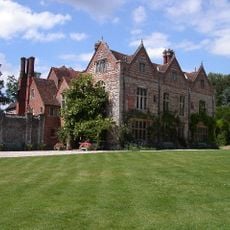
Greys Court
2.2 km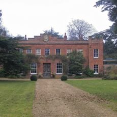
Crowsley Park
2.2 km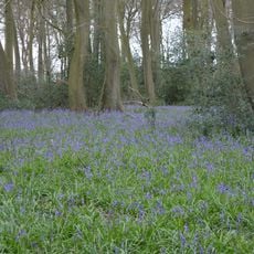
Lambridge Wood
3.7 km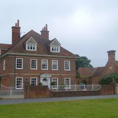
Kidmore House
2.9 km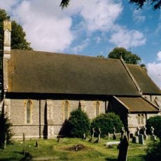
Church of St John the Baptist, Kidmore End
2.7 km
Bellehatch Park House
3.7 km
The Fox Public House
4 km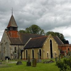
Church of St Nicholas, Rotherfield Greys
1.5 km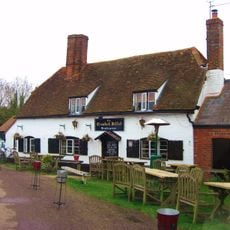
The Crooked Billet Public House
4.1 km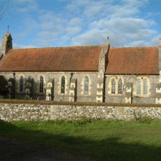
Church of St James
4 km
Church of St Paul
3.1 km
Stoke Row Independent Chapel
3.9 km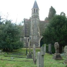
Henley Cemetery Church Of England Chapel
4.2 km
Middle Lodge In Friar Park
4.2 km
The Church of Christ the King
1.2 km
Lawrences Farmhouse
3.3 km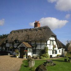
The Bottle And Glass Public House
3.7 km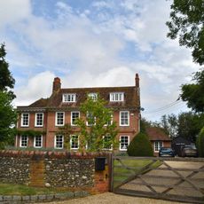
Brawns Farmhouse
3.6 km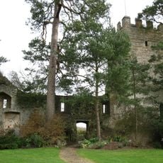
Greys Court, Great Tower, Attached Ruined Tower And Walls Approximately 60 Metres East
2.3 km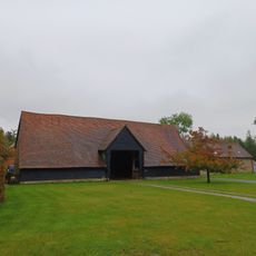
Bromsden Farmhouse, Barn Approximately 20 Metres West
2.9 km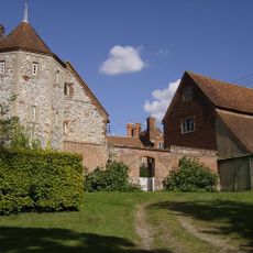
Greys Court Well House
2.2 km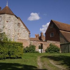
Greys Court, The Keep
2.2 km
Bromsden Farmhouse, Barn Approximately 40 Metres South
2.9 km
Greys Court, Cromwellian Stables Approximately 40 Metres East
2.2 km
Greys Court, Dower House
2.2 km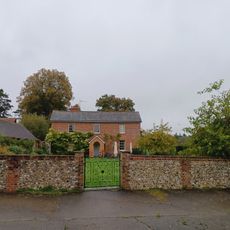
Bromsden Farmhouse
2.9 km
Bix Manor, Barn Approximately 40 Metres South
3.7 km
Bix Manor
3.8 kmReviews
Visited this place? Tap the stars to rate it and share your experience / photos with the community! Try now! You can cancel it anytime.
Discover hidden gems everywhere you go!
From secret cafés to breathtaking viewpoints, skip the crowded tourist spots and find places that match your style. Our app makes it easy with voice search, smart filtering, route optimization, and insider tips from travelers worldwide. Download now for the complete mobile experience.

A unique approach to discovering new places❞
— Le Figaro
All the places worth exploring❞
— France Info
A tailor-made excursion in just a few clicks❞
— 20 Minutes