
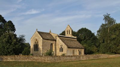
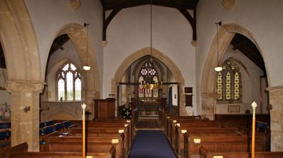
Church of St Mary, church in Hampton Poyle, Oxfordshire, United Kingdom
Location: Hampton Gay and Poyle
GPS coordinates: 51.83610,-1.27811
Latest update: March 4, 2025 21:22
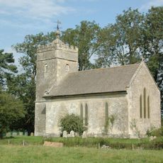
Church of St Giles
1.7 km
Church of St Mary
723 m
Sterling Cinema
1.5 km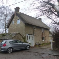
86 and 88, Church Street
786 m
74 and 76, Church Street
799 m
78, Church Street
788 m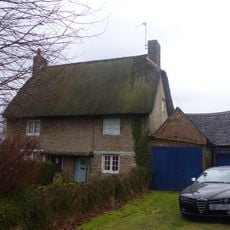
82 and 84, Church Street
797 m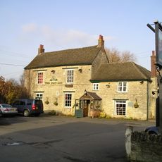
The Boat Public House
1.8 km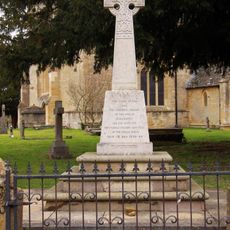
Kidlington and Hamlets War Memorial
765 m
Thrupp Yard Cottages and attched outbuilding
1.5 km
Shipton Lift Bridge (219) Sp 4850 1675, Oxford Canal
1.8 km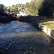
Bridge At Shipton Weir Lock, Oxford Canal
1.8 km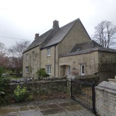
Old Priest's House
762 m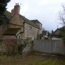
The Old Manor House
289 m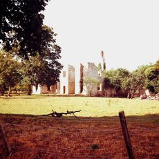
Ruins of Manor House
1.6 km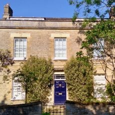
Exeter House
1.9 km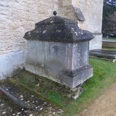
Chest tomb approximately 1/2 metre west of Church of St Mary
732 m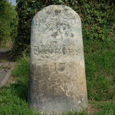
Milestone On Banbury Road, Kidlington
1.6 km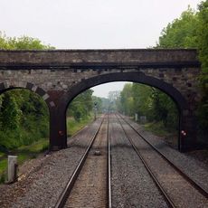
Railway Bridge At Sp 4832 1529
1.5 km
Manor Farmhouse
1.4 km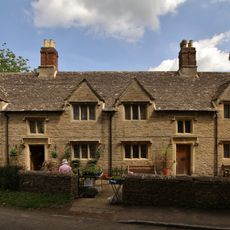
Morton Almshouses
763 m
Poyle Court
322 m
Model Farmhouse
459 m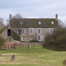
Manor Farmhouse
91 m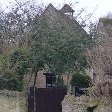
Dovecote and granary approximately 15 metres east of Manor Farmhouse
1.7 km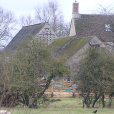
Outbuilding approximately 5 metres north west of Manor Farmhouse
87 m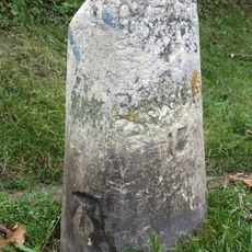
Milestone, Banbury Road; by No.118 & 120
1.6 km
Milestone, Islip Road; between Diamond Farm and Bletchingdon
2.1 kmVisited this place? Tap the stars to rate it and share your experience / photos with the community! Try now! You can cancel it anytime.
Discover hidden gems everywhere you go!
From secret cafés to breathtaking viewpoints, skip the crowded tourist spots and find places that match your style. Our app makes it easy with voice search, smart filtering, route optimization, and insider tips from travelers worldwide. Download now for the complete mobile experience.

A unique approach to discovering new places❞
— Le Figaro
All the places worth exploring❞
— France Info
A tailor-made excursion in just a few clicks❞
— 20 Minutes