
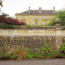
Front Boundary Wall, Piers And Gate, 15 Metres North Of Manor Farm House
Front Boundary Wall, Piers And Gate, 15 Metres North Of Manor Farm House, wall in Charlton Horethorne, South Somerset, England, UK
Location: Charlton Horethorne
GPS coordinates: 51.00690,-2.47875
Latest update: March 18, 2025 11:32

Horsington House
3.8 km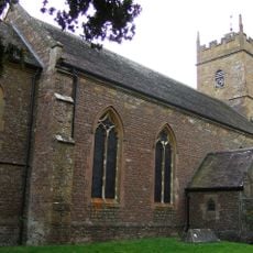
Church of St John the Baptist
3.9 km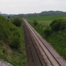
Laycock Railway Cutting
2.3 km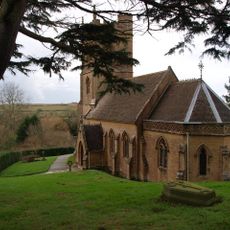
Church of St Andrew
3 km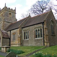
Church of St John the Baptist
3.5 km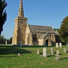
Church of St Mary
3.7 km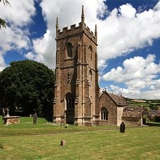
Church of St Peter and St Paul
91 m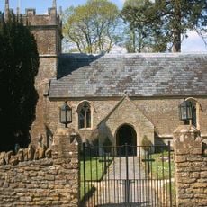
Church of St Michael
3.1 km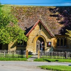
The Church Room
2.5 km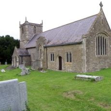
Church of St Mary Magdalene
2.3 km
Parish Church of All Saints
3.5 km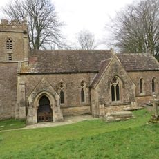
Church of St Peter and St Paul
3.1 km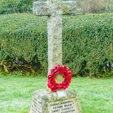
Corton Denham War Memorial
3 km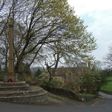
North Cheriton War Memorial
3.5 km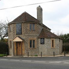
The Old Toll House
3.2 km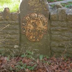
Milestone Set In Front Boundary Wall Of No.647 Main Road
92 m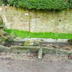
Spring And Horse Trough, About 65 Metres West Of Church Of St Andrew
3 km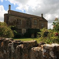
Manor Farm House
27 m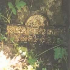
Milestone At Ngr St 6504 2557
2.8 km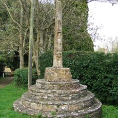
Village cross
3.9 km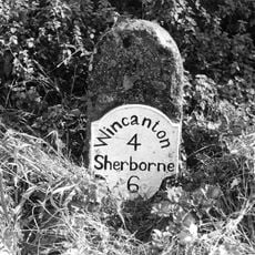
Milestone At Ngr St 6809 2574
3 km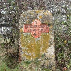
Milestone At Ngr St 6591 2682
3.7 km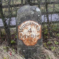
Milestone On A303 At Ngr St 6605 2679
3.7 km
Promontory fort on Barrow Hill
2.5 km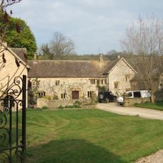
The Manor House
3.4 km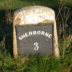
Milestone, Poyntington Down
3.3 km
Milestone, near Witherleigh Farm, N of Maperton
3.9 km
Milestone, NE of Charlton
1.5 kmReviews
Visited this place? Tap the stars to rate it and share your experience / photos with the community! Try now! You can cancel it anytime.
Discover hidden gems everywhere you go!
From secret cafés to breathtaking viewpoints, skip the crowded tourist spots and find places that match your style. Our app makes it easy with voice search, smart filtering, route optimization, and insider tips from travelers worldwide. Download now for the complete mobile experience.

A unique approach to discovering new places❞
— Le Figaro
All the places worth exploring❞
— France Info
A tailor-made excursion in just a few clicks❞
— 20 Minutes