
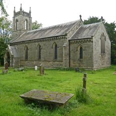
Church of St Wilfred, Grade I listed church in Burnsall, North Yorkshire, United Kingdom
Location: Burnsall
Inception: 13 century
GPS coordinates: 54.04960,-1.95175
Latest update: March 22, 2025 11:45

Church of St Peter
1.6 km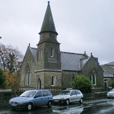
Methodist Chapel
196 m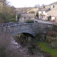
Old Bridge
1.8 km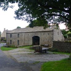
Manor House Barn and approach bridge
1.9 km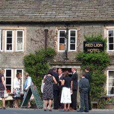
Red Lion Hotel
312 m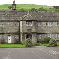
The Old Grammar School
36 m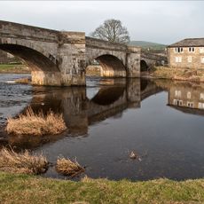
Burnsall Bridge
365 m
Stonycroft
2 km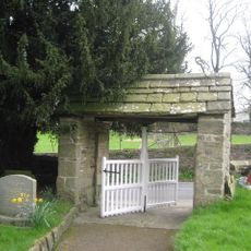
Lych Gate Approximately 30 Metres To West Of Church Of St Wilfred
45 m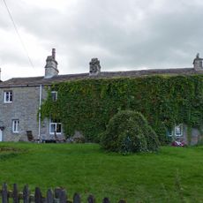
Sunnyside and Sunnybank
2 km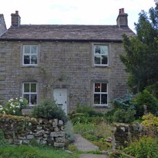
Hardcastle House
2 km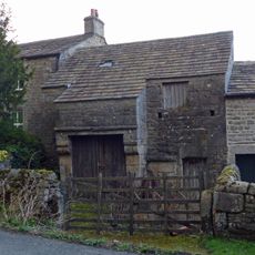
Barn and byre to east of Hardcastle House
2 km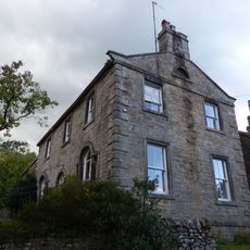
Holly Tree Farmhouse
2 km
Bull house opposite Kail Farmhouse
2 km
Outbuilding opposite Manor House
1.9 km
Barn approximately 10 metres south of Holly Tree Farmhouse
2 km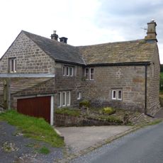
Blackburn House
2 km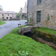
Culvert mouth, lining walls, bridge and sheepwash west of Manor House Barn
1.9 km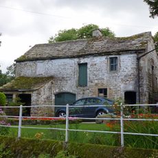
Barn and bothy range to S of Hardy Grange Farmhouse
2 km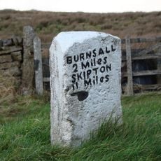
Mile Post At Junction Of B 6265 And Hartlington Raikes Road
1.9 km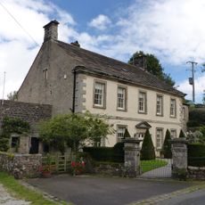
Manor house with wall and gate piers
1.9 km
Milestone At Se 0156 6320
2.4 km
Holes Beck Farmhouse And Attached Barn
1.7 km
Kail Farmhouse
2 km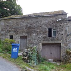
Outbuilding to west end of Hardcastle House
2 km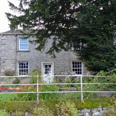
Hardy Grange Farmhouse
2 km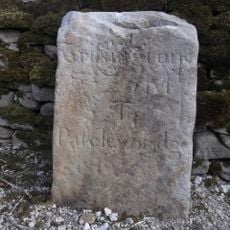
Milestone, Tinker Lane, Hebden on pre turnpike route
1.9 km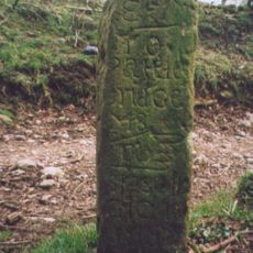
Milestone, in village on Sandybed Lane behind church northwards
2.5 kmReviews
Visited this place? Tap the stars to rate it and share your experience / photos with the community! Try now! You can cancel it anytime.
Discover hidden gems everywhere you go!
From secret cafés to breathtaking viewpoints, skip the crowded tourist spots and find places that match your style. Our app makes it easy with voice search, smart filtering, route optimization, and insider tips from travelers worldwide. Download now for the complete mobile experience.

A unique approach to discovering new places❞
— Le Figaro
All the places worth exploring❞
— France Info
A tailor-made excursion in just a few clicks❞
— 20 Minutes