
Bowl barrow 200m north of Flanchford Road: part of Reigate Heath round barrow cemetery
Bowl barrow 200m north of Flanchford Road: part of Reigate Heath round barrow cemetery, bowl barrow in Reigate and Banstead, Surrey, England, UK
Location: Reigate and Banstead
GPS coordinates: 51.23900,-0.22843
Latest update: April 5, 2025 00:03
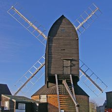
Reigate Heath Windmill
460 m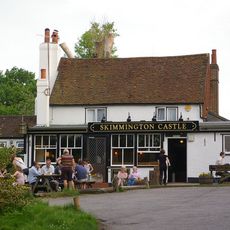
The Skimmington Castle Public House
642 m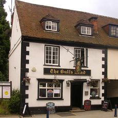
The Bull's Head Inn
1.4 km
6, Park Lane
1.3 km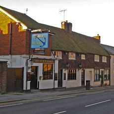
Blue Anchor Public House
1.2 km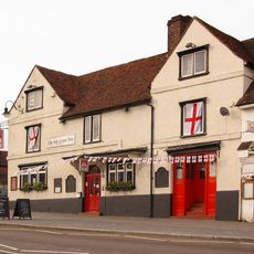
The Red Cross Hotel
1.3 km
St Albans
1.1 km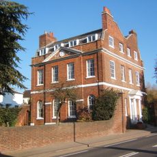
Browne's Lodge
1.2 km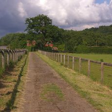
Littleton Manor Farm House
1.1 km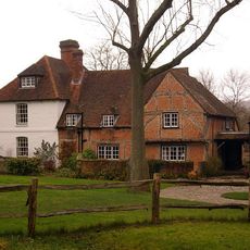
The Old Manor
635 m
Wallfield (Annexe To Reigate School Of Art And Design)
899 m
Wallfield Lodge
965 m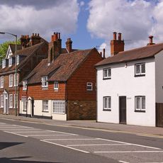
Ye Old Forge
1 km
Priory Farmhouse The Old Granary
1.2 km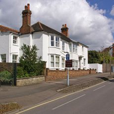
The White House
1.2 km
24 And 24A, West Street
1.1 km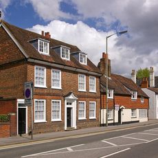
Old West Street House
992 m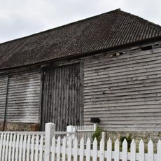
Barn To Right Of Dungates Farm House
1.2 km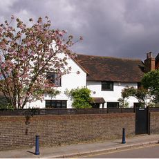
10, Slipshoe Street
1.3 km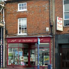
82 High Street
1.3 km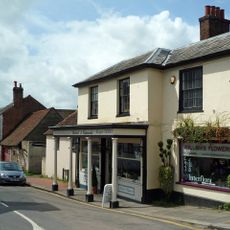
77 And 77A, High Street
1.3 km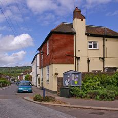
32, Nutley Lane
1.2 km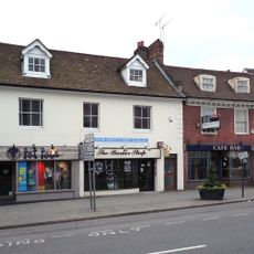
65, High Street
1.3 km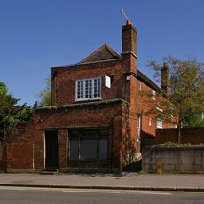
The Former Stable And Coach-House Of Browne's Lodge
1.2 km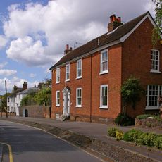
18A And 20, Upper West Street
1.2 km
61 And 63, High Street
1.3 km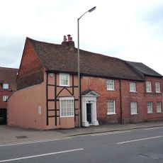
21, West Street
1.2 km
No 26, Including Coach House
1.1 kmReviews
Visited this place? Tap the stars to rate it and share your experience / photos with the community! Try now! You can cancel it anytime.
Discover hidden gems everywhere you go!
From secret cafés to breathtaking viewpoints, skip the crowded tourist spots and find places that match your style. Our app makes it easy with voice search, smart filtering, route optimization, and insider tips from travelers worldwide. Download now for the complete mobile experience.

A unique approach to discovering new places❞
— Le Figaro
All the places worth exploring❞
— France Info
A tailor-made excursion in just a few clicks❞
— 20 Minutes