Field system, archaeological site in Willingdon and Jevington, Wealden, England, UK
Location: Willingdon and Jevington
GPS coordinates: 50.79350,0.22472
Latest update: April 10, 2025 11:26
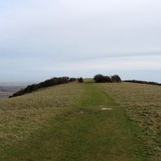
Neolithic causewayed enclosure on Combe Hill
796 m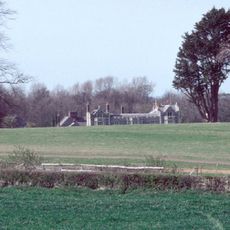
Folkington Manor
2.5 km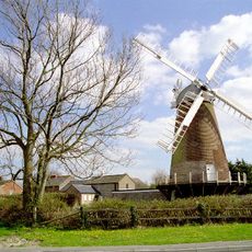
Ovenden's Mill
2.7 km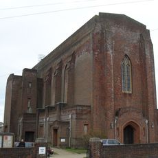
Church of St Elisabeth
2.4 km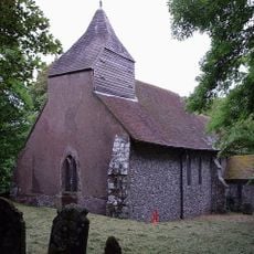
The Parish Church of Saint Peter
2.3 km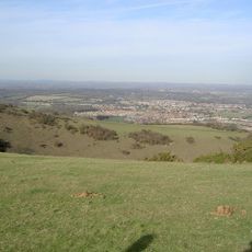
Willingdon Down
1.2 km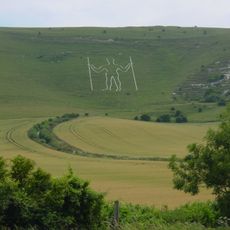
Wilmington Downs
2.8 km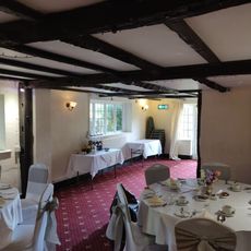
Chalk Farm Hotel
1.9 km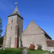
The Parish Church of St Mary the Virgin, Willingdon
2.2 km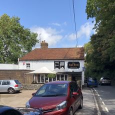
The Eight Bells Inn
621 m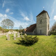
The Parish Church of St Andrew
769 m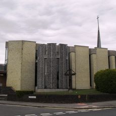
Catholic Church of St Gregory
2.4 km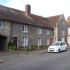
28 and 30, Church Street
2.2 km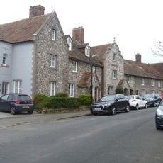
32-38, Church Street
2.2 km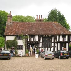
Filching Manor
1.3 km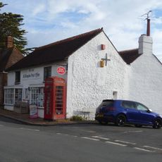
Post Office
2 km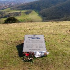
44th Bombardment Group Memorial, Butts Brow
1.1 km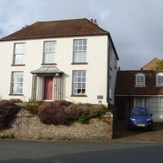
Sea View (Opposite Post Office)
1.9 km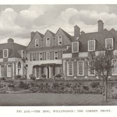
The Hoo
2.1 km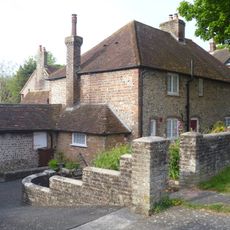
67 And 69, Upper King's Drive
2 km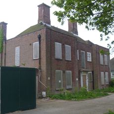
Vicarage to the Church of St Elisabeth
2.4 km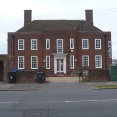
Church Hall To Church Of St Elisabeth
2.4 km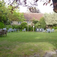
Barn Adjoining Chalk Farm Hotel On The South
1.9 km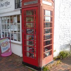
K6 Telephone Kiosk
2 km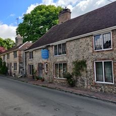
Hungry Monk Restaurant Monk's Rest
689 m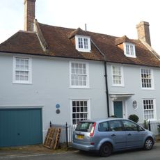
St Wilfred's
2.1 km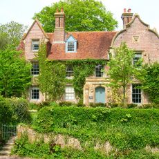
The Old Rectory
2.4 km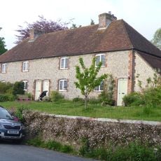
91-97, Wish Hill
1.9 kmReviews
Visited this place? Tap the stars to rate it and share your experience / photos with the community! Try now! You can cancel it anytime.
Discover hidden gems everywhere you go!
From secret cafés to breathtaking viewpoints, skip the crowded tourist spots and find places that match your style. Our app makes it easy with voice search, smart filtering, route optimization, and insider tips from travelers worldwide. Download now for the complete mobile experience.

A unique approach to discovering new places❞
— Le Figaro
All the places worth exploring❞
— France Info
A tailor-made excursion in just a few clicks❞
— 20 Minutes
