
Part of an Iron Age enclosure and a minor Roman villa 128m SSE of the Church of St James
Part of an Iron Age enclosure and a minor Roman villa 128m SSE of the Church of St James, archaeological site in East Malling and Larkfield, Tonbridge and Malling, England, UK
Location: East Malling and Larkfield
GPS coordinates: 51.28630,0.44122
Latest update: May 8, 2025 12:46

Leybourne Castle
2.5 km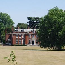
Bradbourne House
971 m
Oaken Wood
2.2 km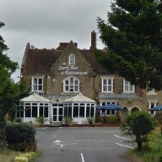
Larkfield Priory Hotel
1.5 km
Church of St James
128 m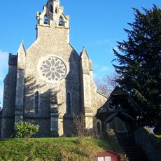
Church of the Holy Trinity
2.2 km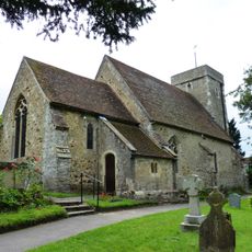
St Peter's Church
1.3 km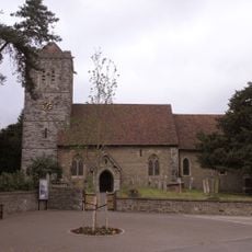
Church of St Peter and St Paul
2.4 km
Parish Church of St Mary the Virgin
2.5 km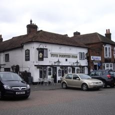
Five Pointed Star Public House
2.5 km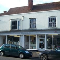
West Malling Library
2.5 km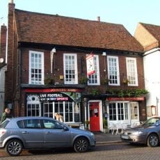
The Joiners Arms Public House
2.5 km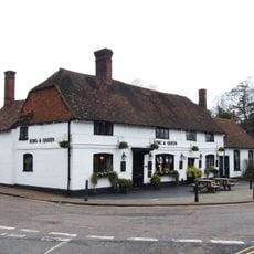
The King And Queen Public House
228 m
Bear Hotel
2.4 km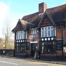
The Bull Public House
2.4 km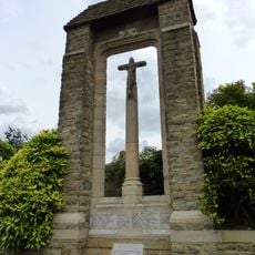
Ditton War Memorial
1.7 km
The Lobster Pot
2.3 km
Aylesford Signal Box
2.4 km
West Malling War Memorial
2.5 km
The Barracks
1 km
The Cascade
2.2 km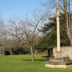
East Malling War Memorial
202 m
Brome House
2.5 km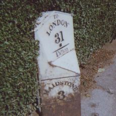
Milepost On A20 London Road At Ditton, Kent
1.8 km
Milepost At Ngr Tq6998558314
1.4 km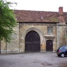
Gatehouse And Chapel To St Mary's Abbey
2.2 km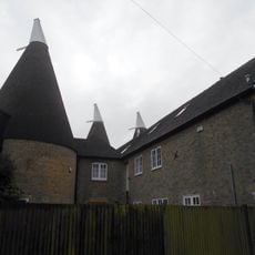
Broadwater Farm Oasthouses
1.5 km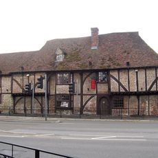
The Wealden Hall Restaurant
1.3 kmReviews
Visited this place? Tap the stars to rate it and share your experience / photos with the community! Try now! You can cancel it anytime.
Discover hidden gems everywhere you go!
From secret cafés to breathtaking viewpoints, skip the crowded tourist spots and find places that match your style. Our app makes it easy with voice search, smart filtering, route optimization, and insider tips from travelers worldwide. Download now for the complete mobile experience.

A unique approach to discovering new places❞
— Le Figaro
All the places worth exploring❞
— France Info
A tailor-made excursion in just a few clicks❞
— 20 Minutes