
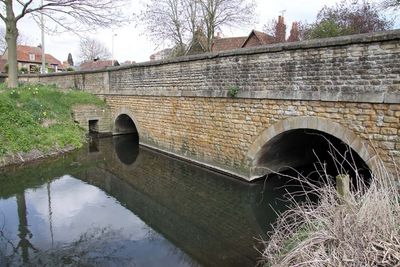
Ock Bridge, road bridge in Abingdon, Vale of White Horse, Oxfordshire, UK
Location: Abingdon on Thames
GPS coordinates: 51.66860,-1.29533
Latest update: September 23, 2025 16:47
Albert Park
498 m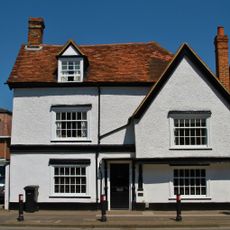
143, Ock Street
257 m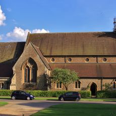
Church of St Michael
415 m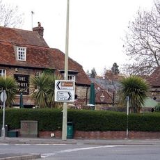
White Horse Public House
109 m
Baptist Chapel
651 m
The Grapes Inn
828 m
Congregational Chapel
789 m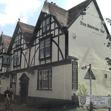
40 and 42, Ock Street
618 m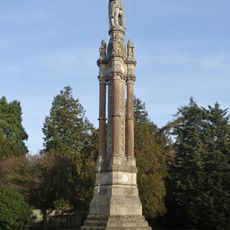
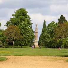
Monument to Prince Albert
580 m
Former Mr Warricks Arms Hotel
430 m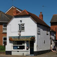
Reeves and Sons
136 m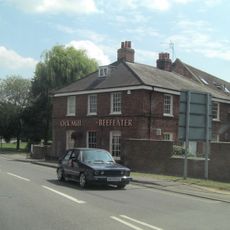
Ock Mill House
262 m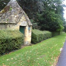
Conduit House
559 m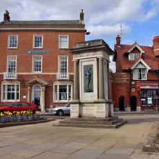
Abingdon-on-Thames War Memorial
809 m
Former Crown Public House
464 m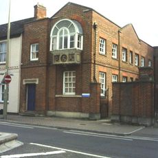
22 and 24, Ock Street
709 m
133, Ock Street
282 m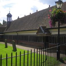
Long Alley Almshouses
845 m
35, Ock Street
638 m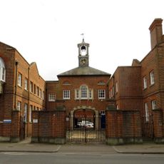
24a, Ock Street
701 m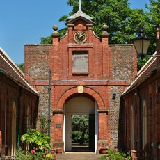
Tomkins Almshouses
473 m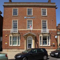
2, The Square
803 m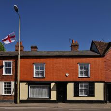
77, Ock Street
518 m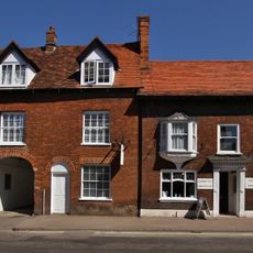
39 And 41, Ock Street
616 m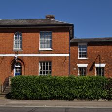
59, Ock Street
558 m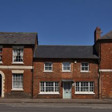
Formerly The Air Balloon Public House
153 m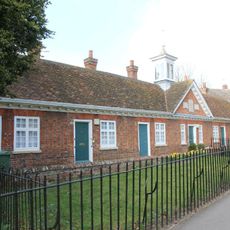
Twittys Almshouses
835 m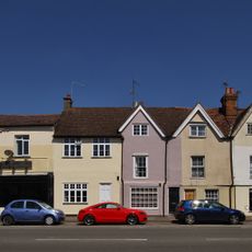
125-129, Ock Street
304 mReviews
Visited this place? Tap the stars to rate it and share your experience / photos with the community! Try now! You can cancel it anytime.
Discover hidden gems everywhere you go!
From secret cafés to breathtaking viewpoints, skip the crowded tourist spots and find places that match your style. Our app makes it easy with voice search, smart filtering, route optimization, and insider tips from travelers worldwide. Download now for the complete mobile experience.

A unique approach to discovering new places❞
— Le Figaro
All the places worth exploring❞
— France Info
A tailor-made excursion in just a few clicks❞
— 20 Minutes