
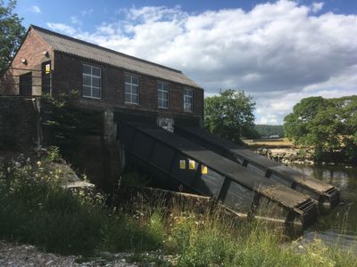
Hydro-electric power house and associated weir 250m north west of Tin Bridge
Hydro-electric power house and associated weir 250m north west of Tin Bridge, hydroelectric power station in Grassington/Threshfield, North Yorkshire, England, UK
Location: Grassington
Location: Threshfield
Part of: Linton Falls Hydro
GPS coordinates: 54.06730,-2.00270
Latest update: March 17, 2025 09:35
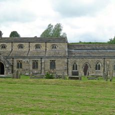
Church of St Michael and All Angels
639 m
Congregational Church
721 m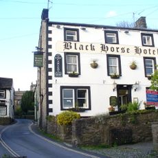
Black Horse Hotel
680 m
Fountaine Inn
797 m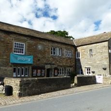
Church House
590 m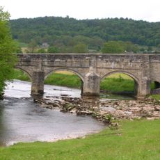
Grassington Bridge
390 m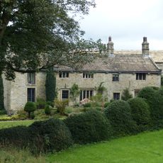
White Abbey
635 m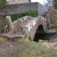
Li'le Emilys Bridge
205 m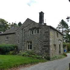
Sunnybank and the Post Office
782 m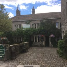
Ashfield House
685 m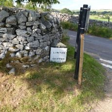
Guide post at SE 0010 6293
585 m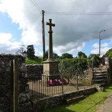
Linton-in-Craven War Memorial
596 m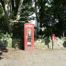
K6 Telephone Kiosk
765 m
Linton Hall
762 m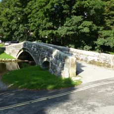
Redmayne packhorse bridge
760 m
3, Main Street
561 m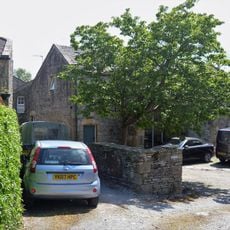
Pletts Barn
748 m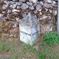
Guide Post At Sd 9979 6285
652 m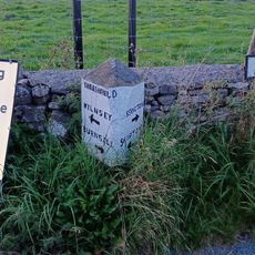
Guide post at SD 9986 6309
401 m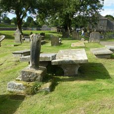
Linton churchyard cross and sundial
643 m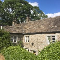
Bridge End Farmhouse
303 m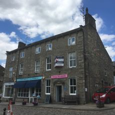
Liverpool Warehouse
657 m
Linton House
715 m
12 and 14, Chamber End Fold
814 m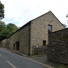
Tythe Barn
784 m
Grassington Hub and Community Library
670 m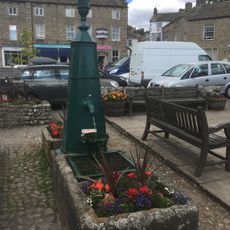
Pump Casing And Two Troughs
631 m
Milestone, UC lane off Lauradale Lane
715 mReviews
Visited this place? Tap the stars to rate it and share your experience / photos with the community! Try now! You can cancel it anytime.
Discover hidden gems everywhere you go!
From secret cafés to breathtaking viewpoints, skip the crowded tourist spots and find places that match your style. Our app makes it easy with voice search, smart filtering, route optimization, and insider tips from travelers worldwide. Download now for the complete mobile experience.

A unique approach to discovering new places❞
— Le Figaro
All the places worth exploring❞
— France Info
A tailor-made excursion in just a few clicks❞
— 20 Minutes