
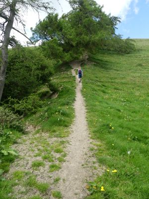
Offa's Dyke: section 175m east of Cefn Bronydd, earthwork in Newcastle, Shropshire, England, UK
Location: Newcastle
Part of: Offa's Dyke
GPS coordinates: 52.44320,-3.09459
Latest update: March 7, 2025 06:18
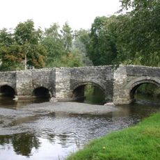
Clun Bridge
5 km
Clun Museum
5 km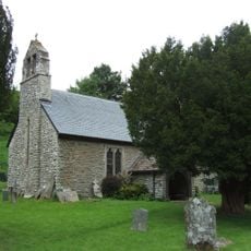
Church of St John the Baptist
4.1 km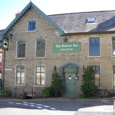
The Buffalo Hotel And Former Barn Adjoining To The West
5 km
Church of St John
839 m
1-7, Church Street
5.1 km
12, Church Street
5.1 km
6 and 8, Church Street
5.1 km
10, Church Street
5.1 km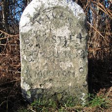
Milestone Approximately 150 Metres To North-West Of Colstey Farmhouse
4.4 km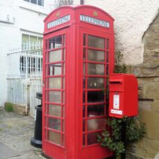
K6 Telephone Kiosk, The Square
5 km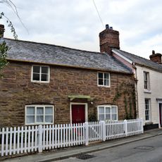
4, Bridge Street
5 km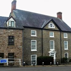
The Old Vicarage And Railed Enclosure To North West
5.1 km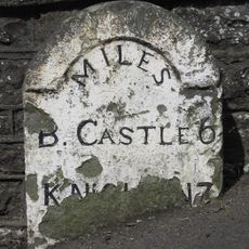
Milestone Approximately 10 Metres To North-West Of The Old Vicarage
5.1 km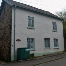
Castle Farmhouse
5.1 km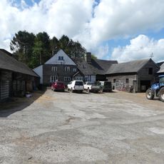
Lower Spoad Farmhouse and small farm adjoining
1.3 km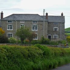
Villa Farmhouse
4.7 km
2, Bridge Street
5 km
8, Bridge Street
5 km
Former Malt-House Adjoining Number 14 To East
5.1 km
Bryndrinog Farmhouse
855 m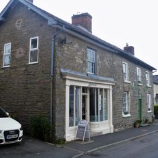
Harpton House And Shop Adjoining To West
5.1 km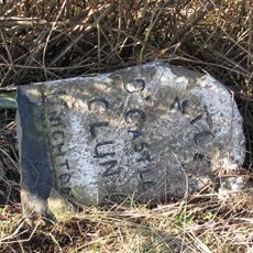
Milestone Approximately 160 Metres To North Of Blackwell Cottage
4.1 km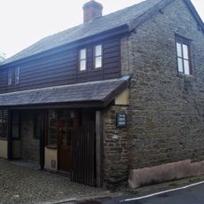
Former Stables And Coach House Approximately 20 Metres To South West Of The Old Vicarage
5.1 km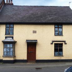
6, Bridge Street
5 km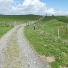
Offa's Dyke: section on the western slope of Llanfair Hill, 1.4km south west of Burfield
4.2 km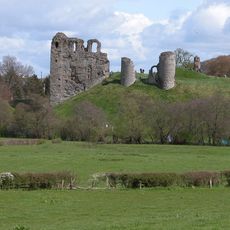
Clun Castle
4.7 km
23 And 25, High Street
5.1 kmReviews
Visited this place? Tap the stars to rate it and share your experience / photos with the community! Try now! You can cancel it anytime.
Discover hidden gems everywhere you go!
From secret cafés to breathtaking viewpoints, skip the crowded tourist spots and find places that match your style. Our app makes it easy with voice search, smart filtering, route optimization, and insider tips from travelers worldwide. Download now for the complete mobile experience.

A unique approach to discovering new places❞
— Le Figaro
All the places worth exploring❞
— France Info
A tailor-made excursion in just a few clicks❞
— 20 Minutes