
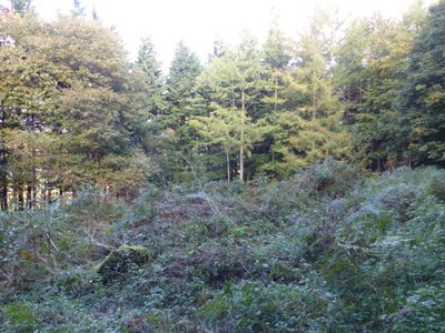
Roman period native settlement in Danefield Wood, 490m south west of Stubbings Farm
Roman period native settlement in Danefield Wood, 490m south west of Stubbings Farm, archaeological site in Otley, Leeds, England, UK
St Bartholomews Mission Church
1.4 km
Pair Of Cemetery Chapels At Otley Cemetery
1.6 km
The Junction Public House
1.7 km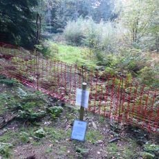
Roman period native settlement in Poolscar Wood, 350m south of Stubbings Farm
304 m
Manor House Public House
1.7 km
75, Bondgate
1.7 km
40, Bondgate
1.7 km
Bloomfield House
1.6 km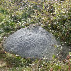
Cup and ring marked rock known as the Knotties Stone on Otley Chevin, 270m north east of The Royalty public house
1.2 km
21, Crow Lane
1.6 km
103 And 105, Cross Green
1.6 km
36, Cross Green
1.7 km
101, Cross Green
1.6 km
Caley House
1.7 km
63-69, Cross Green
1.6 km
71 And 73, Bondgate
1.7 km
Cross Green Youth Centre
1.6 km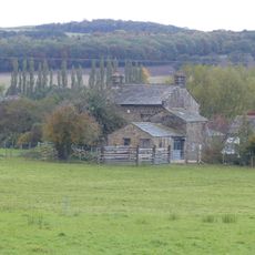
Midgeley House Farmhouse And Outbuildings
945 m
29, Cross Green
1.6 km
19, Crow Lane
1.6 km
25, Cross Green
1.6 km
Man Hong Restaurant
1.7 km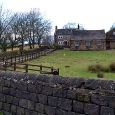
East Chevin Farmhouse And Outbuildings
597 m
14, Gay Lane
1.6 km
67 And 69, Bondgate
1.7 km
Anti-aircraft gunsite 280m east of Carlton Hall
1.4 km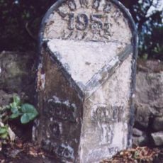
Milestone, Leeds Road, W of bend where Old Pool Bank Road joins at tollhouse
774 m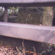
Milestone, East Chevin Road
529 mReviews
Visited this place? Tap the stars to rate it and share your experience / photos with the community! Try now! You can cancel it anytime.
Discover hidden gems everywhere you go!
From secret cafés to breathtaking viewpoints, skip the crowded tourist spots and find places that match your style. Our app makes it easy with voice search, smart filtering, route optimization, and insider tips from travelers worldwide. Download now for the complete mobile experience.

A unique approach to discovering new places❞
— Le Figaro
All the places worth exploring❞
— France Info
A tailor-made excursion in just a few clicks❞
— 20 Minutes