
Cairnfield 730m south east of Burntshield Haugh, cairn in Hexhamshire, Tynedale District, England, UK
Farmbuildings 20 Metres North Of Park House Farmhouse
1.3 km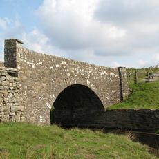
Bridge On Riddlehamhope Track 170 Metres South Of Farmhouse
2.9 km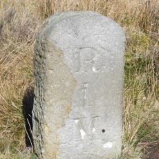
Milestone At Ngr Ny92464979 On North Side Of Track
3 km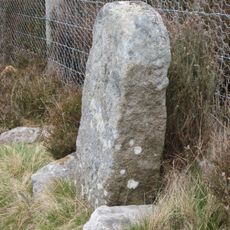
Boundary Stone At Ngr Ny 94045475
2.3 km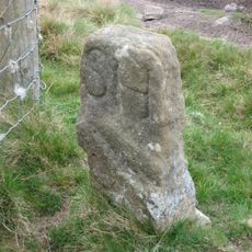
Boundary Stone At Ngr Ny 93945483, Outside Fence Corner
2.3 km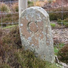
Boundary Stone 100 Metres North Of Shooting Box
1.7 km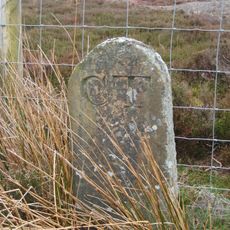
Boundary Stone
1.7 km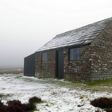
Shooting Box
1.8 km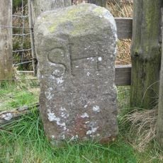
Boundary Stone At Ngr Ny 94515394, Just Within Fence Corner
1.9 km
Harwood Shield Farmhouse
2.8 km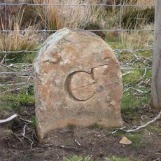
Boundary Stone 360 Metres East Of Shooting Box
1.8 km
Park House Farmhouse And Adjacent Outbuilding
1.3 km
Western House
2.5 km
Burntshieldhaugh Fell prehistoric settlement and field system, 570m east of Ivy Pool
672 m
Prehistoric hut circle settlement, farmstead and field system, 425m east of Burntshield Haugh
516 m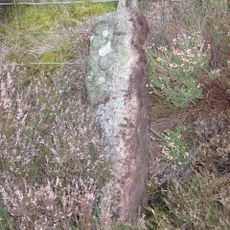
Boundary Stone At Ngr Ny 94305430
2 km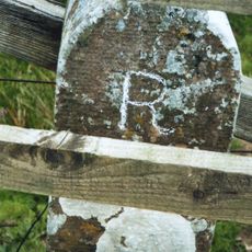
Milestone On East Side Of Riddlehamhope Track 2.5 Metres South Of Bridge
2.9 km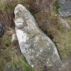
Boundary Stone At Ngr Ny 94125463, On West Of Fence
2.2 km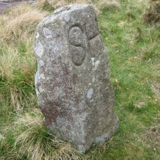
Boundary Stone At Ngr Ny 94005482
2.3 km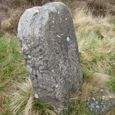
Boundary Stone At Ngr Ny 94165455, On West Of Fence
2.2 km
Hut circle settlement and field system, Romano-British settlement, hush and lead ore works, 750m north east of Burntshield Haugh
1.1 km
Boundary Stone At Ngr Ny 94985435, Between Parallel Fences
2.5 km
Boundary Stone At Ngr Ny 95185449
2.8 km
Pennypie Farmhouse And Adjacent Farmbuildings
2.1 km
Whitehall Methodist Chapel
2.9 km
Farmbuildings To West Of Harwood Shield Farmhouse
2.8 km
Outbuilding 15 Metres North Of Hesleywell Farmhouse
1.2 km
Stone House, 200 Metres South-West Of Hackford Farm
1.9 kmReviews
Visited this place? Tap the stars to rate it and share your experience / photos with the community! Try now! You can cancel it anytime.
Discover hidden gems everywhere you go!
From secret cafés to breathtaking viewpoints, skip the crowded tourist spots and find places that match your style. Our app makes it easy with voice search, smart filtering, route optimization, and insider tips from travelers worldwide. Download now for the complete mobile experience.

A unique approach to discovering new places❞
— Le Figaro
All the places worth exploring❞
— France Info
A tailor-made excursion in just a few clicks❞
— 20 Minutes